
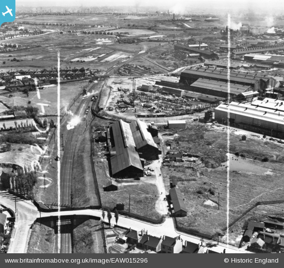
EAW015296 ENGLAND (1948). The Willenhall Foundry and environs, Willenhall, 1948. This image has been produced from a print marked by Aerofilms Ltd for photo editing.
© Copyright OpenStreetMap contributors and licensed by the OpenStreetMap Foundation. 2026. Cartography is licensed as CC BY-SA.
Nearby Images (10)
EAW015296

EAW015294

EAW015300

EAW015295

EAW015293

EAW015299

EAW015298

EAW015297

EAW015301

EAW000767

Details
| Title | [EAW015296] The Willenhall Foundry and environs, Willenhall, 1948. This image has been produced from a print marked by Aerofilms Ltd for photo editing. |
| Reference | EAW015296 |
| Date | 7-May-1948 |
| Link | |
| Place name | WILLENHALL |
| Parish | |
| District | |
| Country | ENGLAND |
| Easting / Northing | 397191, 298198 |
| Longitude / Latitude | -2.0414604148205, 52.581228534278 |
| National Grid Reference | SO972982 |
Pins

redmist |
Wednesday 12th of October 2022 02:37:30 PM |