
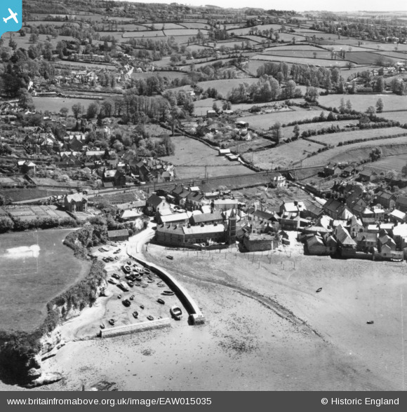
EAW015035 ENGLAND (1948). The Strand and environs, Lympstone, 1948. This image has been produced from a print.
© Copyright OpenStreetMap contributors and licensed by the OpenStreetMap Foundation. 2026. Cartography is licensed as CC BY-SA.
Nearby Images (5)
EAW015035

EAW015034

EAW051149

EAW051150

EAW051148

Details
| Title | [EAW015035] The Strand and environs, Lympstone, 1948. This image has been produced from a print. |
| Reference | EAW015035 |
| Date | 27-April-1948 |
| Link | |
| Place name | LYMPSTONE |
| Parish | LYMPSTONE |
| District | |
| Country | ENGLAND |
| Easting / Northing | 298919, 84085 |
| Longitude / Latitude | -3.4298716868523, 50.647089242559 |
| National Grid Reference | SX989841 |
Pins
Be the first to add a comment to this image!