
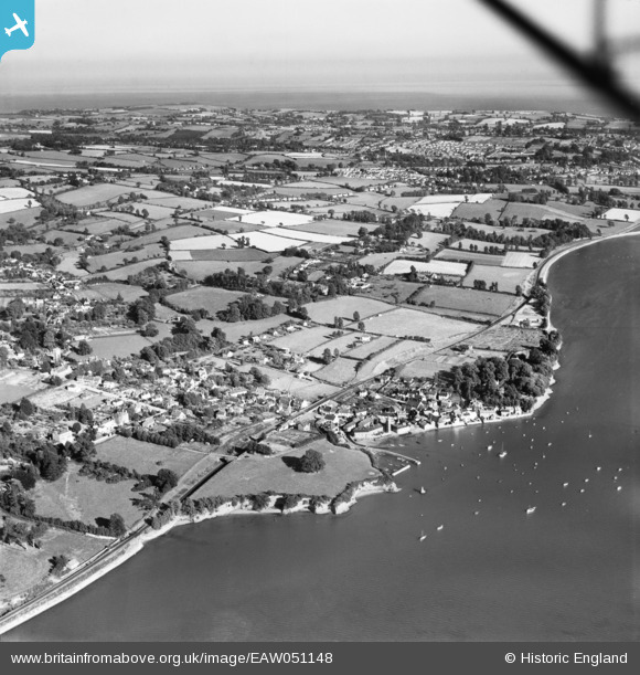
EAW051148 ENGLAND (1953). The village and the surrounding area, Lympstone, from the north-west, 1953
© Copyright OpenStreetMap contributors and licensed by the OpenStreetMap Foundation. 2026. Cartography is licensed as CC BY-SA.
Nearby Images (4)
EAW051148

EAW015035

EAW015034

EAW051150

Details
| Title | [EAW051148] The village and the surrounding area, Lympstone, from the north-west, 1953 |
| Reference | EAW051148 |
| Date | 10-August-1953 |
| Link | |
| Place name | LYMPSTONE |
| Parish | LYMPSTONE |
| District | |
| Country | ENGLAND |
| Easting / Northing | 298780, 84224 |
| Longitude / Latitude | -3.431875291574, 50.648314854426 |
| National Grid Reference | SX988842 |
Pins

Sparky |
Saturday 28th of October 2017 04:58:54 PM |