
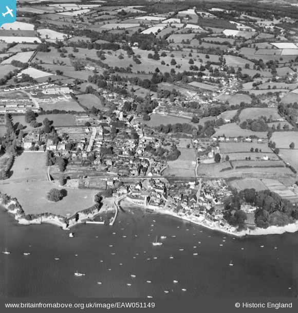
EAW051149 ENGLAND (1953). The village, Lympstone, 1953
© Copyright OpenStreetMap contributors and licensed by the OpenStreetMap Foundation. 2026. Cartography is licensed as CC BY-SA.
Nearby Images (3)
EAW051149

EAW051150

EAW015035

Details
| Title | [EAW051149] The village, Lympstone, 1953 |
| Reference | EAW051149 |
| Date | 10-August-1953 |
| Link | |
| Place name | LYMPSTONE |
| Parish | LYMPSTONE |
| District | |
| Country | ENGLAND |
| Easting / Northing | 299097, 84143 |
| Longitude / Latitude | -3.4273703709732, 50.647641584886 |
| National Grid Reference | SX991841 |
