
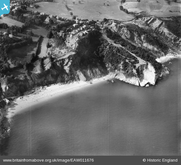
EAW011676 ENGLAND (1947). Oddicombe Beach and Petit Tor Point, St Marychurch, 1947
© Copyright OpenStreetMap contributors and licensed by the OpenStreetMap Foundation. 2025. Cartography is licensed as CC BY-SA.
Nearby Images (7)
EAW011676

EPW033711

EAW011675

EAW011678

EAW007659

EAW011677

EPW033406

Details
| Title | [EAW011676] Oddicombe Beach and Petit Tor Point, St Marychurch, 1947 |
| Reference | EAW011676 |
| Date | 6-October-1947 |
| Link | |
| Place name | ST MARYCHURCH |
| Parish | |
| District | |
| Country | ENGLAND |
| Easting / Northing | 292626, 66056 |
| Longitude / Latitude | -3.5136559488586, 50.483868129075 |
| National Grid Reference | SX926661 |
Pins
Be the first to add a comment to this image!
User Comment Contributions
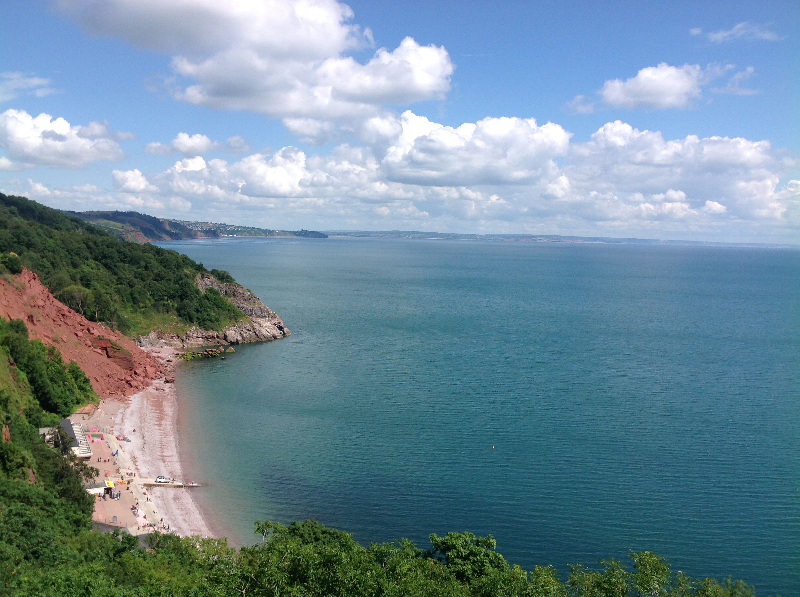
Oddicombe Beach and the coast looking north east, Babbacombe, 08/07/2014 |

Class31 |
Saturday 9th of May 2015 07:59:45 PM |