
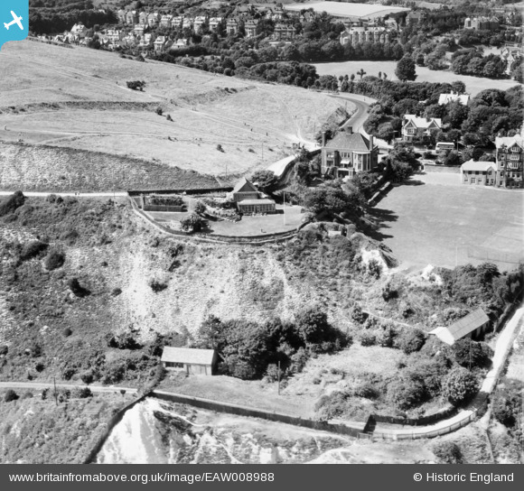
EAW008988 ENGLAND (1947). Holywell Mount, Eastbourne, 1947
© Copyright OpenStreetMap contributors and licensed by the OpenStreetMap Foundation. 2026. Cartography is licensed as CC BY-SA.
Nearby Images (12)
EAW008988

EAW003106

EAW003108

EAW008985

EAW008983

EAW003105

EAW003109

EAW008987

EAW003107

EAW008986

EAW008984

EAW003110

Details
| Title | [EAW008988] Holywell Mount, Eastbourne, 1947 |
| Reference | EAW008988 |
| Date | 12-August-1947 |
| Link | |
| Place name | EASTBOURNE |
| Parish | |
| District | |
| Country | ENGLAND |
| Easting / Northing | 560105, 97043 |
| Longitude / Latitude | 0.26986219727701, 50.750309372418 |
| National Grid Reference | TV601970 |
Pins
Be the first to add a comment to this image!