
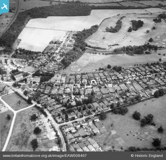
EAW008467 ENGLAND (1947). Residential area around Brookmans Avenue and Bradmore Green, Brookmans Park, 1947
© Copyright OpenStreetMap contributors and licensed by the OpenStreetMap Foundation. 2025. Cartography is licensed as CC BY-SA.
Nearby Images (5)
EAW008467

EAW008483

EPW021429

EPW021427

EAW008482

Details
| Title | [EAW008467] Residential area around Brookmans Avenue and Bradmore Green, Brookmans Park, 1947 |
| Reference | EAW008467 |
| Date | 31-July-1947 |
| Link | |
| Place name | BROOKMANS PARK |
| Parish | NORTH MYMMS |
| District | |
| Country | ENGLAND |
| Easting / Northing | 524453, 204168 |
| Longitude / Latitude | -0.19805139775386, 51.721948632594 |
| National Grid Reference | TL245042 |
Pins
Be the first to add a comment to this image!