
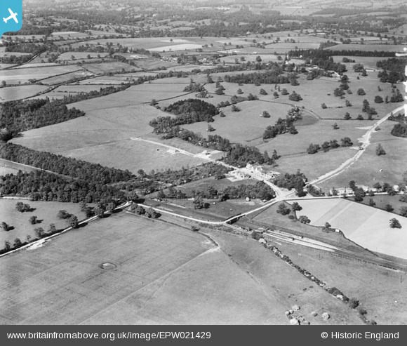
EPW021429 ENGLAND (1928). Countryside around Bradmore Way, Brookmans Park, 1928
© Copyright OpenStreetMap contributors and licensed by the OpenStreetMap Foundation. 2025. Cartography is licensed as CC BY-SA.
Nearby Images (4)
EPW021429

EAW008482

EAW008483

EAW008467

Details
| Title | [EPW021429] Countryside around Bradmore Way, Brookmans Park, 1928 |
| Reference | EPW021429 |
| Date | 30-May-1928 |
| Link | |
| Place name | BROOKMANS PARK |
| Parish | NORTH MYMMS |
| District | |
| Country | ENGLAND |
| Easting / Northing | 524276, 204348 |
| Longitude / Latitude | -0.20054856576514, 51.723605683752 |
| National Grid Reference | TL243043 |
Pins

Class31 |
Tuesday 12th of February 2013 04:44:55 PM |