
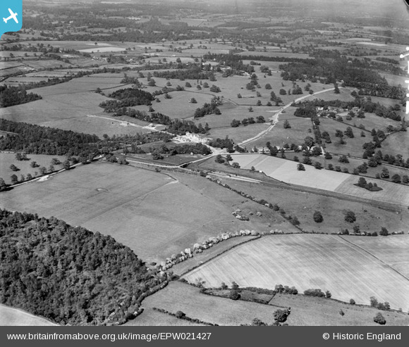
EPW021427 ENGLAND (1928). Countryside around Brookmans Avenue, Brookmans Park, 1928
© Copyright OpenStreetMap contributors and licensed by the OpenStreetMap Foundation. 2025. Cartography is licensed as CC BY-SA.
Nearby Images (4)
EPW021427

EAW008483

EAW008466
, Brookmans Park, 1947")
EAW008467

Details
| Title | [EPW021427] Countryside around Brookmans Avenue, Brookmans Park, 1928 |
| Reference | EPW021427 |
| Date | 30-May-1928 |
| Link | |
| Place name | BROOKMANS PARK |
| Parish | NORTH MYMMS |
| District | |
| Country | ENGLAND |
| Easting / Northing | 524206, 204091 |
| Longitude / Latitude | -0.20165326117965, 51.721311348827 |
| National Grid Reference | TL242041 |
Pins

Al C |
Monday 6th of February 2017 02:20:38 PM | |
|
Al C |
Monday 6th of February 2017 02:19:48 PM | |

Class31 |
Tuesday 12th of February 2013 04:39:28 PM | |
|
Class31 |
Tuesday 12th of February 2013 04:34:56 PM | |
|
Class31 |
Tuesday 12th of February 2013 04:33:48 PM |