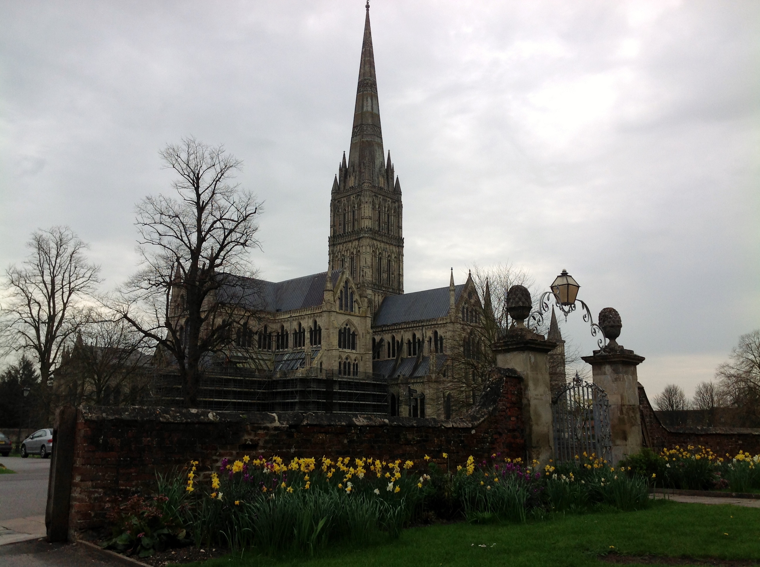
EAW003563 ENGLAND (1947). Salisbury Cathedral, Salisbury, from the north-west, 1947

© Copyright OpenStreetMap contributors and licensed by the OpenStreetMap Foundation. 2026. Cartography is licensed as CC BY-SA.
Nearby Images (27)
EAW003563

EAW025832

EAW025826

EAW051986

EPW041080

EAW051969

EPW011037

EPW041084

EPW041083

EAW051967

EPW011038

EAW051988

EAW025829
, Salisbury, 1949. This image has been produced from a damaged negative.")
EAW025828
, Salisbury, 1949. This image has been produced from a damaged negative.")
EAW003562

EAW051974

EAW025827

EAW051976

EAW025831

EAW003564

EAW051978

EAW051987

EAW051975

EAW051922

EAW051917

EAW051968

EAW025830

Details
| Title | [EAW003563] Salisbury Cathedral, Salisbury, from the north-west, 1947 |
| Reference | EAW003563 |
| Date | March-1947 |
| Link | |
| Place name | SALISBURY |
| Parish | SALISBURY |
| District | |
| Country | ENGLAND |
| Easting / Northing | 414341, 129555 |
| Longitude / Latitude | -1.7953196215777, 51.064616613659 |
| National Grid Reference | SU143296 |