
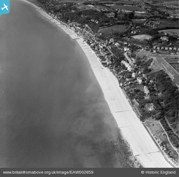
EAW002859 ENGLAND (1946). The village and the seafront, Sandgate, 1946
© Copyright OpenStreetMap contributors and licensed by the OpenStreetMap Foundation. 2026. Cartography is licensed as CC BY-SA.
Nearby Images (9)
EAW002859

EAW002860

EAW032832

EPW042871

EAW002377

EPW035412

EAW002858

EAW032836

EAW032833

Details
| Title | [EAW002859] The village and the seafront, Sandgate, 1946 |
| Reference | EAW002859 |
| Date | 1-October-1946 |
| Link | |
| Place name | SANDGATE |
| Parish | SANDGATE |
| District | |
| Country | ENGLAND |
| Easting / Northing | 621243, 135115 |
| Longitude / Latitude | 1.158511380385, 51.07211487319 |
| National Grid Reference | TR212351 |
