
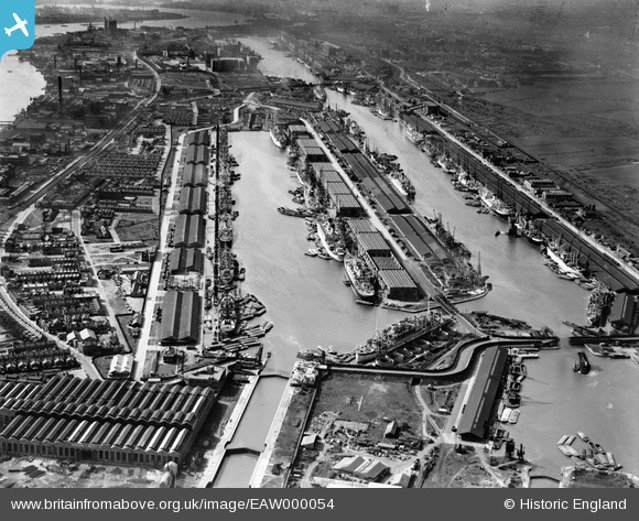
EAW000054 ENGLAND (1946). The King George V Dock and the Royal Albert Dock, Beckton, 1946
© Copyright OpenStreetMap contributors and licensed by the OpenStreetMap Foundation. 2026. Cartography is licensed as CC BY-SA.
Nearby Images (23)
EAW000054

EAW000058

EAW005289

EAW000057

EAW008726

EAW049351

EAW000050

EAW000051

EAW022357

EPW021370

EPW032936

EAW021703

EPW010727

EAW008725

EPW032937

EPW032935

EAW000055

EAW008727

EAW008722

EPW008887

EPW010729

EAW021713

EAW000037

Details
| Title | [EAW000054] The King George V Dock and the Royal Albert Dock, Beckton, 1946 |
| Reference | EAW000054 |
| Date | 31-March-1946 |
| Link | |
| Place name | BECKTON |
| Parish | |
| District | |
| Country | ENGLAND |
| Easting / Northing | 543255, 180354 |
| Longitude / Latitude | 0.064268642206133, 51.503456628043 |
| National Grid Reference | TQ433804 |
Pins

redmist |
Saturday 4th of July 2020 11:46:54 PM | |
|
redmist |
Saturday 4th of July 2020 11:46:10 PM | |
|
redmist |
Saturday 4th of July 2020 11:45:42 PM | |
|
redmist |
Saturday 4th of July 2020 11:44:51 PM | |
|
redmist |
Saturday 4th of July 2020 11:44:00 PM | |
|
redmist |
Saturday 27th of June 2020 09:47:54 PM | |
|
redmist |
Saturday 27th of June 2020 09:46:41 PM |