
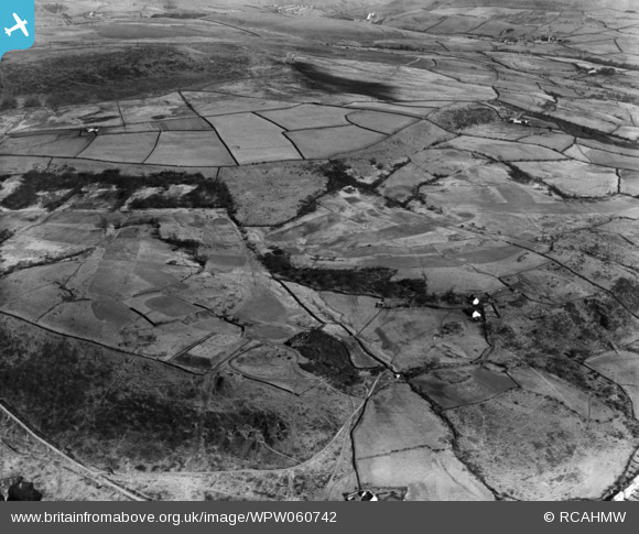
wpw060742 WALES (1939). View of landscape near Gwaelod-y-Garth, oblique aerial view. 5"x4" black and white glass plate negative.
© Hawlfraint cyfranwyr OpenStreetMap a thrwyddedwyd gan yr OpenStreetMap Foundation. 2026. Trwyddedir y gartograffeg fel CC BY-SA.
Delweddau cyfagos (6)
WPW060742

WPW060743

WPW060744

WPW060745

WPW060746

WPW060747

Manylion
| Pennawd | [WPW060742] View of landscape near Gwaelod-y-Garth, oblique aerial view. 5"x4" black and white glass plate negative. |
| Cyfeirnod | WPW060742 |
| Dyddiad | 1939 |
| Dolen | Coflein Archive Item 6370501 |
| Enw lle | |
| Plwyf | |
| Ardal | |
| Gwlad | WALES |
| Dwyreiniad / Gogleddiad | 311560, 183990 |
| Hydred / Lledred | -3.2755870044834, 51.547385493184 |
| Cyfeirnod Grid Cenedlaethol | ST116840 |
Pinnau
Cyfraniadau Grŵp
Please change the title as suggested. |

Class31 |
Tuesday 9th of October 2012 09:24:15 PM |
View taken South East from above Pontypridd Golf Course from Grid ST 08189 90819.Reservoir is the main identifying feature. Penheol Ely Road in the foreground, Abertridwr in the distance. The title will need to be changed to View South East over Pontypridd Golf Course. |
Class31 |
Wednesday 18th of July 2012 08:52:10 AM |