
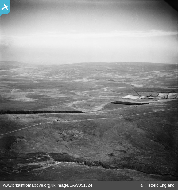
eaw051324 ENGLAND (1953). Royal Hill and Peat Cot, Dartmoor Forest, from the north-west, 1953
© Hawlfraint cyfranwyr OpenStreetMap a thrwyddedwyd gan yr OpenStreetMap Foundation. 2025. Trwyddedir y gartograffeg fel CC BY-SA.
Manylion
| Pennawd | [EAW051324] Royal Hill and Peat Cot, Dartmoor Forest, from the north-west, 1953 |
| Cyfeirnod | EAW051324 |
| Dyddiad | 8-August-1953 |
| Dolen | |
| Enw lle | DARTMOOR FOREST |
| Plwyf | WALKHAMPTON |
| Ardal | |
| Gwlad | ENGLAND |
| Dwyreiniad / Gogleddiad | 259584, 72187 |
| Hydred / Lledred | -3.9814952348952, 50.53199098667 |
| Cyfeirnod Grid Cenedlaethol | SX596722 |
Pinnau
 Class31 |
Tuesday 11th of November 2014 02:24:22 PM | |
Class31 |
Tuesday 11th of November 2014 02:19:18 PM | |
Class31 |
Tuesday 11th of November 2014 02:15:08 PM | |
Class31 |
Tuesday 11th of November 2014 02:08:03 PM | |
Class31 |
Tuesday 11th of November 2014 02:04:29 PM | |
Class31 |
Tuesday 11th of November 2014 01:57:21 PM | |
Class31 |
Tuesday 11th of November 2014 01:56:28 PM | |
Class31 |
Tuesday 11th of November 2014 01:54:59 PM | |
Class31 |
Tuesday 11th of November 2014 01:52:10 PM |
Cyfraniadau Grŵp
The process here is to try to identify as much as we can using the near features as markers and gradually piecing together the landscape.It is a slow process, for me. |
Class31 |
Tuesday 11th of November 2014 02:17:27 PM |