
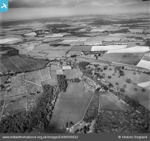
eaw006632 ENGLAND (1947). The village and surrounding countryside, Petham, from the south-west, 1947
© Hawlfraint cyfranwyr OpenStreetMap a thrwyddedwyd gan yr OpenStreetMap Foundation. 2025. Trwyddedir y gartograffeg fel CC BY-SA.
Manylion
| Pennawd | [EAW006632] The village and surrounding countryside, Petham, from the south-west, 1947 |
| Cyfeirnod | EAW006632 |
| Dyddiad | 27-May-1947 |
| Dolen | |
| Enw lle | PETHAM |
| Plwyf | PETHAM |
| Ardal | |
| Gwlad | ENGLAND |
| Dwyreiniad / Gogleddiad | 612312, 151126 |
| Hydred / Lledred | 1.0406475541942, 51.219273756149 |
| Cyfeirnod Grid Cenedlaethol | TR123511 |
Pinnau
 Mike |
Friday 18th of April 2025 08:49:08 PM |