
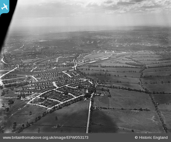
EPW053173 ENGLAND (1937). Bramley Road, Oakwood and environs, Enfield, from the north-east, 1937
© Hawlfraint cyfranwyr OpenStreetMap a thrwyddedwyd gan yr OpenStreetMap Foundation. 2026. Trwyddedir y gartograffeg fel CC BY-SA.
Manylion
| Pennawd | [EPW053173] Bramley Road, Oakwood and environs, Enfield, from the north-east, 1937 |
| Cyfeirnod | EPW053173 |
| Dyddiad | 21-May-1937 |
| Dolen | |
| Enw lle | ENFIELD |
| Plwyf | |
| Ardal | |
| Gwlad | ENGLAND |
| Dwyreiniad / Gogleddiad | 530066, 196477 |
| Hydred / Lledred | -0.11969406087055, 51.651552825688 |
| Cyfeirnod Grid Cenedlaethol | TQ301965 |
Pinnau

Macmartyn |
Monday 4th of November 2013 03:29:22 PM | |
|
Macmartyn |
Monday 4th of November 2013 03:27:48 PM | |
|
Macmartyn |
Monday 4th of November 2013 03:25:38 PM | |
|
Macmartyn |
Monday 4th of November 2013 03:22:13 PM | |
|
Macmartyn |
Monday 4th of November 2013 03:11:35 PM | |
|
Macmartyn |
Monday 4th of November 2013 03:09:14 PM | |
|
Macmartyn |
Monday 4th of November 2013 03:08:30 PM | |
|
Macmartyn |
Monday 4th of November 2013 03:07:58 PM | |
|
Macmartyn |
Monday 4th of November 2013 03:06:01 PM | |
|
Macmartyn |
Monday 4th of November 2013 03:04:36 PM | |
|
Macmartyn |
Monday 4th of November 2013 03:02:26 PM |