
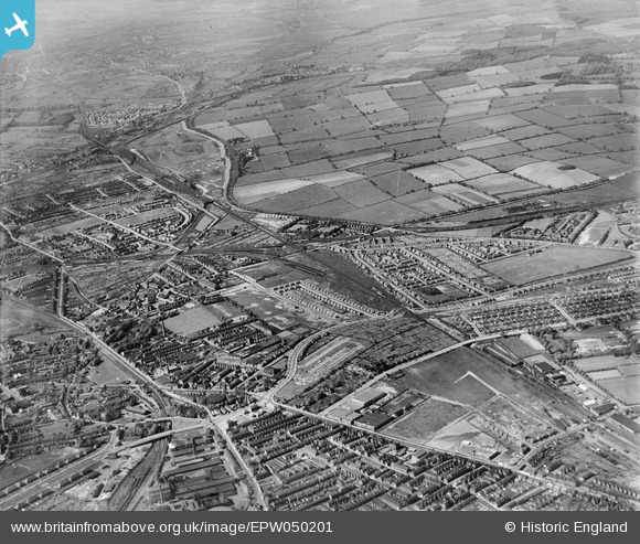
EPW050201 ENGLAND (1936). Basford East Junction, the Bagthorpe Curve and surrounding suburbs and countryside, Old Basford, from the south, 1936
© Hawlfraint cyfranwyr OpenStreetMap a thrwyddedwyd gan yr OpenStreetMap Foundation. 2025. Trwyddedir y gartograffeg fel CC BY-SA.
Manylion
| Pennawd | [EPW050201] Basford East Junction, the Bagthorpe Curve and surrounding suburbs and countryside, Old Basford, from the south, 1936 |
| Cyfeirnod | EPW050201 |
| Dyddiad | May-1936 |
| Dolen | |
| Enw lle | OLD BASFORD |
| Plwyf | |
| Ardal | |
| Gwlad | ENGLAND |
| Dwyreiniad / Gogleddiad | 455688, 343297 |
| Hydred / Lledred | -1.1704252690381, 52.98380635408 |
| Cyfeirnod Grid Cenedlaethol | SK557433 |
Pinnau

tmac |
Sunday 20th of November 2016 06:04:12 PM | |
|
tmac |
Sunday 20th of November 2016 06:00:40 PM | |
|
tmac |
Sunday 20th of November 2016 05:56:43 PM | |
|
tmac |
Sunday 20th of November 2016 05:54:57 PM | |
|
tmac |
Sunday 20th of November 2016 05:52:12 PM | |
|
tmac |
Sunday 20th of November 2016 05:50:13 PM | |
|
tmac |
Sunday 20th of November 2016 05:47:43 PM | |
|
tmac |
Sunday 20th of November 2016 05:45:45 PM | |
Hi can someone please clarify which pin this refers to? I'm new to this site and I have seen pictures of Bagthorpe Jct wrt having a line to The Rathole, and Bagthrorpe Jct is near my house so I'd like to know what it is thanks, C. |
Old Basford |
Saturday 13th of May 2023 12:04:09 PM |