
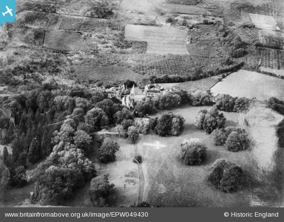
EPW049430 ENGLAND (1935). St Nicholas's Church and the surrounding area, Linton, 1935. This image has been produced from a damaged copy-negative.
© Hawlfraint cyfranwyr OpenStreetMap a thrwyddedwyd gan yr OpenStreetMap Foundation. 2026. Trwyddedir y gartograffeg fel CC BY-SA.
Manylion
| Pennawd | [EPW049430] St Nicholas's Church and the surrounding area, Linton, 1935. This image has been produced from a damaged copy-negative. |
| Cyfeirnod | EPW049430 |
| Dyddiad | October-1935 |
| Dolen | |
| Enw lle | LINTON |
| Plwyf | LINTON |
| Ardal | |
| Gwlad | ENGLAND |
| Dwyreiniad / Gogleddiad | 575449, 150161 |
| Hydred / Lledred | 0.51283977413698, 51.22312546224 |
| Cyfeirnod Grid Cenedlaethol | TQ754502 |
Pinnau
Byddwch y cyntaf i ychwanegu sylw at y ddelwedd hon!