
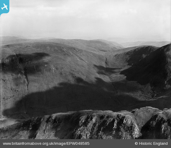
EPW048585 ENGLAND (1935). Artlecrag Pike, Branstree, 1935
© Hawlfraint cyfranwyr OpenStreetMap a thrwyddedwyd gan yr OpenStreetMap Foundation. 2026. Trwyddedir y gartograffeg fel CC BY-SA.
Manylion
| Pennawd | [EPW048585] Artlecrag Pike, Branstree, 1935 |
| Cyfeirnod | EPW048585 |
| Dyddiad | July-1935 |
| Dolen | |
| Enw lle | BRANSTREE |
| Plwyf | SHAP RURAL |
| Ardal | |
| Gwlad | ENGLAND |
| Dwyreiniad / Gogleddiad | 347308, 510119 |
| Hydred / Lledred | -2.8133919088324, 54.483544909595 |
| Cyfeirnod Grid Cenedlaethol | NY473101 |
Pinnau

Class31 |
Wednesday 15th of May 2013 04:39:48 PM | |
|
Class31 |
Wednesday 15th of May 2013 04:36:08 PM | |
|
Class31 |
Wednesday 15th of May 2013 04:32:32 PM | |
|
Class31 |
Wednesday 15th of May 2013 04:30:29 PM | |
|
Class31 |
Wednesday 15th of May 2013 04:28:33 PM |
Cyfraniadau Grŵp
Thank you... The original Aerofilms Ltd Register entry for the image says "Areas in the Lake District for Manchester Corporation Waterworks"; as you know we simply don't have enough leeway with our time to be able to hunt images like this out. It makes such as difference that website members can help with these. We'll update the catalogue and post the new record here in due course. Yours, Katy Britain from Above Cataloguing Team Leader |
Katy Whitaker |
Tuesday 2nd of July 2013 01:05:48 PM |
View looking south over Rough Crag towards Gatescarth Pass |
Class31 |
Wednesday 15th of May 2013 04:31:27 PM |