
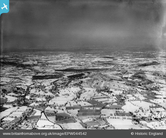
EPW044542 ENGLAND (1934). An experimental infra-red photograph, Hagley Park, from the west, 1934
© Hawlfraint cyfranwyr OpenStreetMap a thrwyddedwyd gan yr OpenStreetMap Foundation. 2026. Trwyddedir y gartograffeg fel CC BY-SA.
Manylion
| Pennawd | [EPW044542] An experimental infra-red photograph, Hagley Park, from the west, 1934 |
| Cyfeirnod | EPW044542 |
| Dyddiad | May-1934 |
| Dolen | |
| Enw lle | HAGLEY PARK |
| Plwyf | HAGLEY |
| Ardal | |
| Gwlad | ENGLAND |
| Dwyreiniad / Gogleddiad | 392012, 280756 |
| Hydred / Lledred | -2.1174827473335, 52.424356884627 |
| Cyfeirnod Grid Cenedlaethol | SO920808 |
Pinnau

Class31 |
Thursday 23rd of May 2013 12:03:41 PM | |
|
Class31 |
Thursday 23rd of May 2013 12:02:59 PM | |
|
Class31 |
Thursday 23rd of May 2013 12:01:22 PM | |
|
Class31 |
Thursday 23rd of May 2013 10:52:43 AM | |
|
Class31 |
Thursday 23rd of May 2013 10:51:56 AM | |
|
Class31 |
Thursday 23rd of May 2013 10:50:39 AM | |
|
Class31 |
Thursday 23rd of May 2013 10:46:41 AM | |
|
Class31 |
Thursday 23rd of May 2013 10:39:55 AM | |
|
Class31 |
Thursday 23rd of May 2013 10:37:17 AM | |
|
Class31 |
Thursday 23rd of May 2013 10:36:28 AM | |
|
Class31 |
Thursday 23rd of May 2013 10:34:12 AM | |
|
Class31 |
Thursday 23rd of May 2013 10:31:49 AM |
Cyfraniadau Grŵp
Thank you for all the useful pins! This is another of the experimental infra-red images. We'll update the catalogue and post the new record here in due course. Yours, Katy Britain from Above Cataloguing Team Leader |
Katy Whitaker |
Tuesday 2nd of July 2013 12:45:45 PM |
Everything fits for the Hagley location. I had a clue for the location from the previously numbered photo which reduced the area to be covered. The large woods were relatively easy to identify. The rest was just filling in the gaps. |
Class31 |
Thursday 23rd of May 2013 12:15:37 PM |
Eureka I believe that this is Hagley looking east. I shall now hope to provide some proof. |
Class31 |
Thursday 23rd of May 2013 10:25:48 AM |