
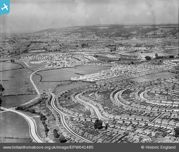
EPW041485 ENGLAND (1933). Housing estates at Knowle Park and Lower Knowle, Knowle, from the south-east, 1933
© Hawlfraint cyfranwyr OpenStreetMap a thrwyddedwyd gan yr OpenStreetMap Foundation. 2026. Trwyddedir y gartograffeg fel CC BY-SA.
Manylion
| Pennawd | [EPW041485] Housing estates at Knowle Park and Lower Knowle, Knowle, from the south-east, 1933 |
| Cyfeirnod | EPW041485 |
| Dyddiad | June-1933 |
| Dolen | |
| Enw lle | KNOWLE |
| Plwyf | |
| Ardal | |
| Gwlad | ENGLAND |
| Dwyreiniad / Gogleddiad | 360295, 170056 |
| Hydred / Lledred | -2.5711659477908, 51.427625691707 |
| Cyfeirnod Grid Cenedlaethol | ST603701 |
Pinnau

Class31 |
Wednesday 26th of February 2014 08:10:04 PM | |
|
Class31 |
Wednesday 26th of February 2014 08:09:18 PM | |
|
Class31 |
Wednesday 26th of February 2014 08:08:56 PM | |
|
Class31 |
Wednesday 26th of February 2014 08:08:16 PM | |
|
Class31 |
Wednesday 26th of February 2014 08:07:44 PM | |
This may be the temporary church built prior to St Barnabas,(which was built in 1939).It later became the Church Hall. Durbandeep. |

Durbandeep |
Friday 28th of February 2014 04:30:18 PM |
|
Class31 |
Wednesday 26th of February 2014 08:05:41 PM | |
|
Class31 |
Wednesday 26th of February 2014 08:05:10 PM | |
|
Class31 |
Wednesday 26th of February 2014 08:04:42 PM | |
|
Class31 |
Wednesday 26th of February 2014 08:04:01 PM | |
|
Class31 |
Wednesday 26th of February 2014 08:02:30 PM | |
|
Class31 |
Wednesday 26th of February 2014 08:01:28 PM | |
|
Class31 |
Wednesday 26th of February 2014 08:00:42 PM | |
|
Class31 |
Wednesday 26th of February 2014 08:00:12 PM | |
|
Class31 |
Wednesday 26th of February 2014 07:59:36 PM | |
|
Class31 |
Wednesday 26th of February 2014 07:59:10 PM | |
|
Class31 |
Wednesday 26th of February 2014 07:58:32 PM |
