
EPW032633 ENGLAND (1930) [Unlocated]. UNLOCATED
© Hawlfraint cyfranwyr OpenStreetMap a thrwyddedwyd gan yr OpenStreetMap Foundation. 2026. Trwyddedir y gartograffeg fel CC BY-SA.
Delweddau cyfagos (48)
EPW000143

EPW000667

EPW005260

EPW006389
, 1921")
EPW007181

EPW015853

EPW015854

EPW015855

EPW016012

EPW016510

EPW016641

EPW017028

EPW017029

EPW017136

SAW003585

SAW003586

SAW009337

SAW009800

SAW009801

SAW009802

SAW010734

SAW014737

SAW017926

SAW017927

SAW032504

SPW020275

SPW020280

SPW020281

SPW020284

SPW020632

SPW020633

SPW027083

SPW049776

SPW049777

SPW049779

SPW049783

SPW049791

SPW049798

SPW049801

SPW049827

SPW049828

SPW049831

SPW049832

SPW049834

SPW049948

SPW049949

SPW051009

SPW062638

Manylion
| Pennawd | [EPW032633] UNLOCATED |
| Cyfeirnod | EPW032633 |
| Dyddiad | June-1930 |
| Dolen | |
| Enw lle | |
| Plwyf | |
| Ardal | |
| Gwlad | ENGLAND |
| Dwyreiniad / Gogleddiad | 0, 0 |
| Hydred / Lledred | -7.556448482059, 49.766185796754 |
| Cyfeirnod Grid Cenedlaethol | SV000000 |
Pinnau
Liz Fife-Faulkner |
Tuesday 9th of July 2013 02:43:31 PM | |
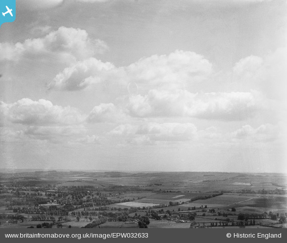
I'm wondering if this isn't the view in the other direction. Looking south-east -ish from the valley of the Cowage Brook/Hilmarton area, with Clyffe Pypard at the left of the chalk scarp? |
Katy Whitaker |
Tuesday 3rd of September 2013 03:41:31 PM |

BigglesH |
Sunday 14th of April 2013 08:31:44 PM |
Cyfraniadau Grŵp
looks more like salisbury plain to me. |
TomRobin |
Monday 9th of June 2014 09:16:45 PM |
I don't think we know where this one is yet. We haven't identified any settlement, roads or field boundaries. I think we think that it is in Wiltshire but only through instinct and not through a positive identification. |

Class31 |
Wednesday 18th of September 2013 11:03:40 PM |
No inspiration today on this one! |
Class31 |
Tuesday 30th of April 2013 10:56:19 AM |
By image reference, photos before and after are of Wootton Bassett, so is this a photo of the R.A.F. Lyneham area before it became that ? (R.A.F. Lyneham built in 1939). |
BigglesH |
Sunday 14th of April 2013 08:27:44 PM |
Somewhere in Wiltshire? |
Class31 |
Thursday 27th of December 2012 10:52:37 PM |