
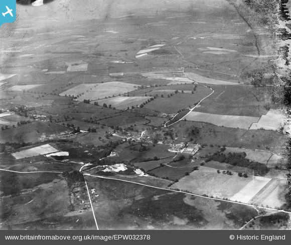
EPW032378 ENGLAND (1930). Briantspuddle, Smokeham Bottom and surrounding countryside, Briantspuddle, from the south, 1930. This image has been produced from a damaged negative.
© Hawlfraint cyfranwyr OpenStreetMap a thrwyddedwyd gan yr OpenStreetMap Foundation. 2026. Trwyddedir y gartograffeg fel CC BY-SA.
Manylion
| Pennawd | [EPW032378] Briantspuddle, Smokeham Bottom and surrounding countryside, Briantspuddle, from the south, 1930. This image has been produced from a damaged negative. |
| Cyfeirnod | EPW032378 |
| Dyddiad | June-1930 |
| Dolen | |
| Enw lle | BRIANTSPUDDLE |
| Plwyf | AFFPUDDLE |
| Ardal | |
| Gwlad | ENGLAND |
| Dwyreiniad / Gogleddiad | 381867, 92847 |
| Hydred / Lledred | -2.2569772406522, 50.734381769529 |
| Cyfeirnod Grid Cenedlaethol | SY819928 |
Pinnau
Byddwch y cyntaf i ychwanegu sylw at y ddelwedd hon!