
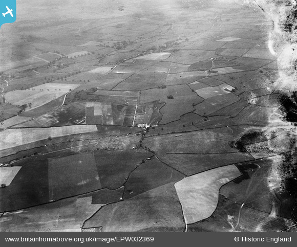
EPW032369 ENGLAND (1930). Track of Roman Road west of Ashley Barn and surrounding countryside, Bere Regis, from the north-east, 1930. This image has been produced from a damaged negative.
© Hawlfraint cyfranwyr OpenStreetMap a thrwyddedwyd gan yr OpenStreetMap Foundation. 2026. Trwyddedir y gartograffeg fel CC BY-SA.
Manylion
| Pennawd | [EPW032369] Track of Roman Road west of Ashley Barn and surrounding countryside, Bere Regis, from the north-east, 1930. This image has been produced from a damaged negative. |
| Cyfeirnod | EPW032369 |
| Dyddiad | June-1930 |
| Dolen | |
| Enw lle | BERE REGIS |
| Plwyf | BERE REGIS |
| Ardal | |
| Gwlad | ENGLAND |
| Dwyreiniad / Gogleddiad | 381746, 95764 |
| Hydred / Lledred | -2.2588366231701, 50.760612235809 |
| Cyfeirnod Grid Cenedlaethol | SY817958 |
Pinnau
Byddwch y cyntaf i ychwanegu sylw at y ddelwedd hon!