
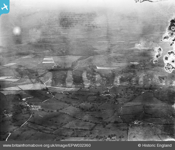
EPW032360 ENGLAND (1930). Higher Ansty, Lower Ansty and surrounding countryside, Hilton, from the north-west, 1930. This image has been produced from a damaged negative.
© Hawlfraint cyfranwyr OpenStreetMap a thrwyddedwyd gan yr OpenStreetMap Foundation. 2026. Trwyddedir y gartograffeg fel CC BY-SA.
Manylion
| Pennawd | [EPW032360] Higher Ansty, Lower Ansty and surrounding countryside, Hilton, from the north-west, 1930. This image has been produced from a damaged negative. |
| Cyfeirnod | EPW032360 |
| Dyddiad | June-1930 |
| Dolen | |
| Enw lle | HILTON |
| Plwyf | HILTON |
| Ardal | |
| Gwlad | ENGLAND |
| Dwyreiniad / Gogleddiad | 376517, 103447 |
| Hydred / Lledred | -2.3334725228908, 50.829520732051 |
| Cyfeirnod Grid Cenedlaethol | ST765034 |
Pinnau
Byddwch y cyntaf i ychwanegu sylw at y ddelwedd hon!