
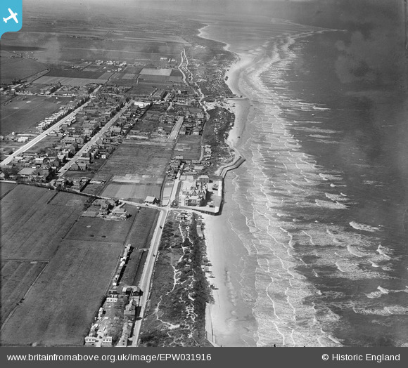
EPW031916 ENGLAND (1930). The town and the coast, Mablethorpe, from the south-east, 1930
© Hawlfraint cyfranwyr OpenStreetMap a thrwyddedwyd gan yr OpenStreetMap Foundation. 2026. Trwyddedir y gartograffeg fel CC BY-SA.
Manylion
| Pennawd | [EPW031916] The town and the coast, Mablethorpe, from the south-east, 1930 |
| Cyfeirnod | EPW031916 |
| Dyddiad | May-1930 |
| Dolen | |
| Enw lle | MABLETHORPE |
| Plwyf | MABLETHORPE AND SUTTON |
| Ardal | |
| Gwlad | ENGLAND |
| Dwyreiniad / Gogleddiad | 551317, 384372 |
| Hydred / Lledred | 0.27272930606577, 53.334317193989 |
| Cyfeirnod Grid Cenedlaethol | TF513844 |
