
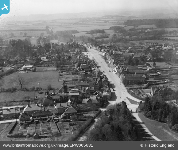
EPW005681 ENGLAND (1921). The High Street and town centre, Beaconsfield, from the east, 1921
© Hawlfraint cyfranwyr OpenStreetMap a thrwyddedwyd gan yr OpenStreetMap Foundation. 2026. Trwyddedir y gartograffeg fel CC BY-SA.
Manylion
| Pennawd | [EPW005681] The High Street and town centre, Beaconsfield, from the east, 1921 |
| Cyfeirnod | EPW005681 |
| Dyddiad | March-1921 |
| Dolen | |
| Enw lle | BEACONSFIELD |
| Plwyf | BEACONSFIELD |
| Ardal | |
| Gwlad | ENGLAND |
| Dwyreiniad / Gogleddiad | 494852, 190127 |
| Hydred / Lledred | -0.63030141926745, 51.601514432822 |
| Cyfeirnod Grid Cenedlaethol | SU949901 |
Pinnau

moses72 |
Saturday 22nd of August 2015 04:13:03 PM | |
|
moses72 |
Saturday 22nd of August 2015 04:11:19 PM | |
|
moses72 |
Saturday 22nd of August 2015 04:09:04 PM | |
|
dave43 |
Saturday 17th of August 2013 09:29:04 PM | |
|
dave43 |
Saturday 17th of August 2013 09:28:31 PM |