
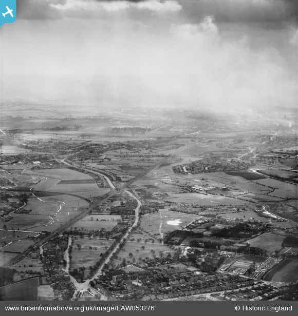
EAW053276 ENGLAND (1954). Walsall Road, Pelsall Common and environs, Heath End, from the north, 1954
© Hawlfraint cyfranwyr OpenStreetMap a thrwyddedwyd gan yr OpenStreetMap Foundation. 2026. Trwyddedir y gartograffeg fel CC BY-SA.
Manylion
| Pennawd | [EAW053276] Walsall Road, Pelsall Common and environs, Heath End, from the north, 1954 |
| Cyfeirnod | EAW053276 |
| Dyddiad | 26-March-1954 |
| Dolen | |
| Enw lle | HEATH END |
| Plwyf | |
| Ardal | |
| Gwlad | ENGLAND |
| Dwyreiniad / Gogleddiad | 402255, 302560 |
| Hydred / Lledred | -1.9666868015304, 52.620449080821 |
| Cyfeirnod Grid Cenedlaethol | SK023026 |
Pinnau

Bob |
Tuesday 30th of June 2026 03:02:25 PM | |
|
Billytee |
Saturday 4th of October 2025 08:52:52 PM | |
|
Billytee |
Saturday 4th of October 2025 08:48:56 PM | |
|
markyy |
Sunday 14th of November 2021 02:15:04 PM | |
|
curnock |
Saturday 2nd of March 2019 09:12:31 PM | |
|
KevTheBusDriver |
Friday 1st of January 2016 07:26:30 PM | |
|
KevTheBusDriver |
Friday 1st of January 2016 07:20:48 PM | |
|
KevTheBusDriver |
Friday 1st of January 2016 07:17:25 PM | |
|
KevTheBusDriver |
Friday 1st of January 2016 07:15:02 PM | |
|
KevTheBusDriver |
Friday 1st of January 2016 07:11:43 PM | |
|
KevTheBusDriver |
Friday 1st of January 2016 07:10:19 PM | |
|
KevTheBusDriver |
Friday 1st of January 2016 07:08:31 PM | |
|
KevTheBusDriver |
Friday 1st of January 2016 07:06:33 PM |