
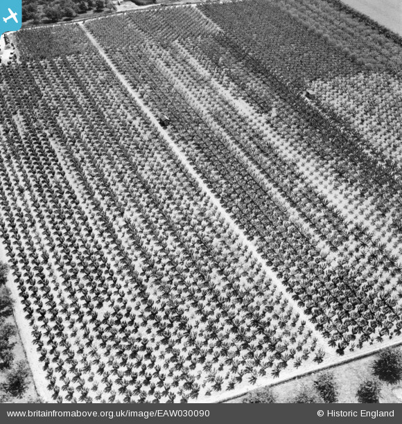
EAW030090 ENGLAND (1950). Orchard at Claxfield Farm, Radfield, 1950
© Hawlfraint cyfranwyr OpenStreetMap a thrwyddedwyd gan yr OpenStreetMap Foundation. 2025. Trwyddedir y gartograffeg fel CC BY-SA.
Manylion
| Pennawd | [EAW030090] Orchard at Claxfield Farm, Radfield, 1950 |
| Cyfeirnod | EAW030090 |
| Dyddiad | 5-June-1950 |
| Dolen | |
| Enw lle | RADFIELD |
| Plwyf | TONGE |
| Ardal | |
| Gwlad | ENGLAND |
| Dwyreiniad / Gogleddiad | 594279, 162486 |
| Hydred / Lledred | 0.78890408214582, 51.327733660025 |
| Cyfeirnod Grid Cenedlaethol | TQ943625 |
Pinnau

Class31 |
Tuesday 6th of May 2014 08:34:19 AM | |

Dave Brunt |
Saturday 3rd of May 2014 09:56:47 AM | |
|
Dave Brunt |
Saturday 3rd of May 2014 09:56:10 AM | |
|
Dave Brunt |
Saturday 3rd of May 2014 09:55:22 AM | |
Hi Dave, Thanks for looking at this one. We'll update the catalogue and post your new location data here in due course. Yours, Katy Britain from Above Cataloguing Team Leader |
Katy Whitaker |
Friday 27th of June 2014 04:09:00 PM |
Cyfraniadau Grŵp
Everything is consistent with the Claxfield Farm location as given by Dave Brunt. We are looking south east. |
Class31 |
Tuesday 6th of May 2014 08:36:06 AM |