
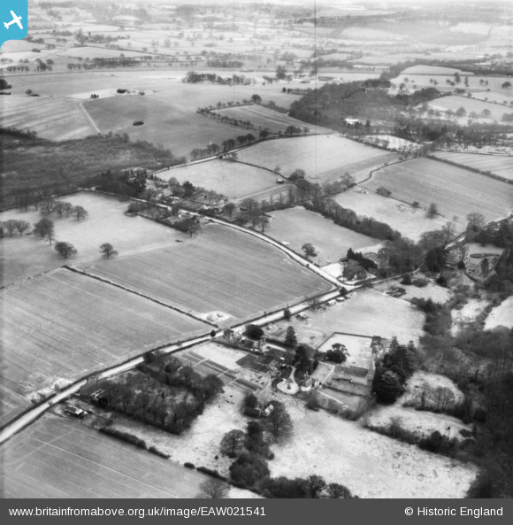
EAW021541 ENGLAND (1949). The village, Itchingfield, 1949. This image has been produced from a print.
© Hawlfraint cyfranwyr OpenStreetMap a thrwyddedwyd gan yr OpenStreetMap Foundation. 2025. Trwyddedir y gartograffeg fel CC BY-SA.
Manylion
| Pennawd | [EAW021541] The village, Itchingfield, 1949. This image has been produced from a print. |
| Cyfeirnod | EAW021541 |
| Dyddiad | 21-March-1949 |
| Dolen | |
| Enw lle | ITCHINGFIELD |
| Plwyf | ITCHINGFIELD |
| Ardal | |
| Gwlad | ENGLAND |
| Dwyreiniad / Gogleddiad | 513302, 128741 |
| Hydred / Lledred | -0.38350336899022, 51.046296116708 |
| Cyfeirnod Grid Cenedlaethol | TQ133287 |
Pinnau

Dan Gregory |
Saturday 13th of September 2014 11:38:03 PM | |
|
Dan Gregory |
Saturday 13th of September 2014 11:37:22 PM | |
|
Dan Gregory |
Saturday 13th of September 2014 11:36:24 PM | |
|
Dan Gregory |
Saturday 13th of September 2014 11:34:11 PM | |
|
Dan Gregory |
Saturday 13th of September 2014 11:32:33 PM | |
|
Dan Gregory |
Saturday 13th of September 2014 11:28:33 PM | |
|
Dan Gregory |
Saturday 13th of September 2014 11:27:47 PM | |
|
Dan Gregory |
Saturday 13th of September 2014 11:27:15 PM | |
|
Dan Gregory |
Saturday 13th of September 2014 11:26:36 PM | |
|
Dan Gregory |
Saturday 13th of September 2014 11:22:41 PM |