
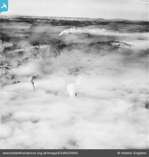
EAW020890 ENGLAND (1949). Low cloud cover over the town, Hitchin, from the north-east (approximate location), 1949
© Hawlfraint cyfranwyr OpenStreetMap a thrwyddedwyd gan yr OpenStreetMap Foundation. 2026. Trwyddedir y gartograffeg fel CC BY-SA.
Manylion
| Pennawd | [EAW020890] Low cloud cover over the town, Hitchin, from the north-east (approximate location), 1949 |
| Cyfeirnod | EAW020890 |
| Dyddiad | 2-February-1949 |
| Dolen | |
| Enw lle | HITCHIN |
| Plwyf | |
| Ardal | |
| Gwlad | ENGLAND |
| Dwyreiniad / Gogleddiad | 518303, 229723 |
| Hydred / Lledred | -0.27831221723623, 51.952966995688 |
| Cyfeirnod Grid Cenedlaethol | TL183297 |
Pinnau

stephen dearman |
Monday 13th of April 2015 01:39:26 AM | |
|
TomRobin |
Friday 3rd of January 2014 06:04:15 PM | |

Class31 |
Monday 16th of December 2013 09:41:11 AM |
Cyfraniadau Grŵp
I'll take Offley and Moormead Hill...we'll update the catalogue and post the new data here in due course. Yours, Katy Britain from Above Cataloguing Team Leader |
Katy Whitaker |
Tuesday 7th of January 2014 04:33:28 PM |
This is such a difficult one to annotate! I have no doubt at all that it is Hitchin. The roads fit for Hitchin but putting a name to any of them is so difficult. |
Class31 |
Monday 16th of December 2013 10:08:00 AM |
View is looking south |
Class31 |
Monday 16th of December 2013 10:01:04 AM |