
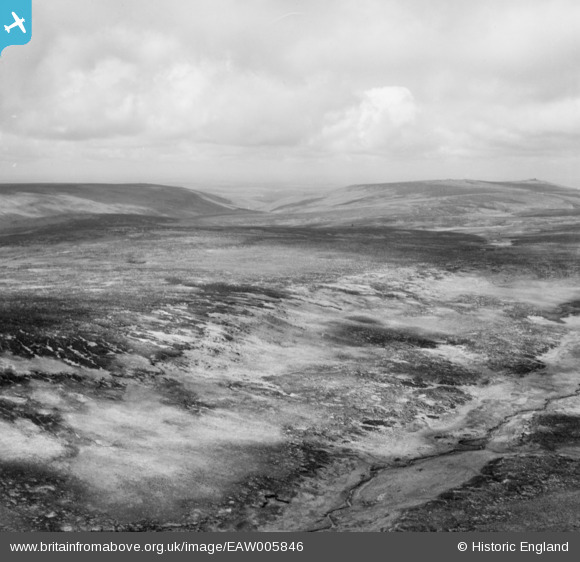
EAW005846 ENGLAND (1947). Dartmoor, Black Hill, from the south-east, 1947
© Hawlfraint cyfranwyr OpenStreetMap a thrwyddedwyd gan yr OpenStreetMap Foundation. 2026. Trwyddedir y gartograffeg fel CC BY-SA.
Manylion
| Pennawd | [EAW005846] Dartmoor, Black Hill, from the south-east, 1947 |
| Cyfeirnod | EAW005846 |
| Dyddiad | 18-May-1947 |
| Dolen | |
| Enw lle | BLACK HILL |
| Plwyf | DARTMOOR FOREST |
| Ardal | |
| Gwlad | ENGLAND |
| Dwyreiniad / Gogleddiad | 260790, 84115 |
| Hydred / Lledred | -3.9689551989548, 50.639495444974 |
| Cyfeirnod Grid Cenedlaethol | SX608841 |
Pinnau

Class31 |
Thursday 7th of November 2013 11:25:59 AM | |
|
Class31 |
Thursday 7th of November 2013 11:14:15 AM | |
|
Class31 |
Thursday 7th of November 2013 11:13:26 AM | |
|
Class31 |
Thursday 7th of November 2013 11:09:17 AM | |
|
Class31 |
Wednesday 6th of November 2013 08:35:02 AM |
Cyfraniadau Grŵp
Thanks Class31, we'll update the catalogue and post the new data here in due course. Yours, Katy Britain from Above Cataloguing Team Leader |
Katy Whitaker |
Tuesday 7th of January 2014 12:52:15 PM |
View is looking broadly north |
Class31 |
Wednesday 6th of November 2013 08:37:23 AM |
EAW005844 EAW005845 and EAW005846 were taken on the same day of Dartmoor. I have positively identified the location of EAW005844 I shall now endeavour to identify some features on the other two photos. |
Class31 |
Wednesday 6th of November 2013 08:30:30 AM |