
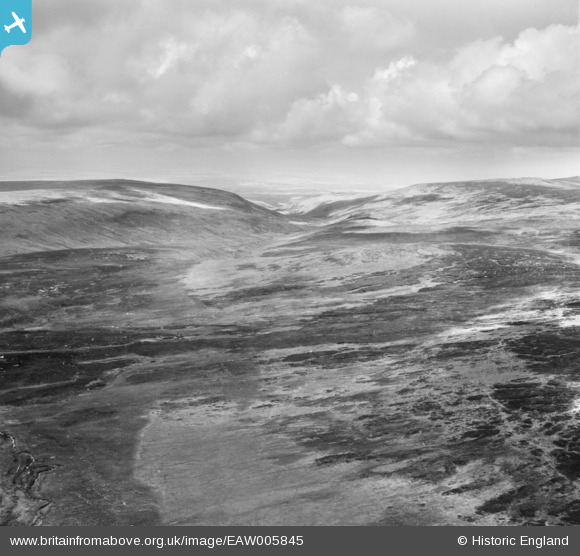
EAW005845 ENGLAND (1947). The valley of the West Okement River from Great Kneeset, Lints Tor, from the south-east, 1947
© Hawlfraint cyfranwyr OpenStreetMap a thrwyddedwyd gan yr OpenStreetMap Foundation. 2026. Trwyddedir y gartograffeg fel CC BY-SA.
Manylion
| Pennawd | [EAW005845] The valley of the West Okement River from Great Kneeset, Lints Tor, from the south-east, 1947 |
| Cyfeirnod | EAW005845 |
| Dyddiad | 18-May-1947 |
| Dolen | |
| Enw lle | LINTS TOR |
| Plwyf | DARTMOOR FOREST |
| Ardal | |
| Gwlad | ENGLAND |
| Dwyreiniad / Gogleddiad | 258770, 84997 |
| Hydred / Lledred | -3.9978435039425, 50.646937065179 |
| Cyfeirnod Grid Cenedlaethol | SX588850 |
Pinnau

Class31 |
Wednesday 6th of November 2013 09:47:02 AM | |
|
Class31 |
Wednesday 6th of November 2013 09:36:48 AM | |
|
Class31 |
Wednesday 6th of November 2013 09:20:36 AM | |
I have studied the course of this river on the map and I have found a high correlation between what we see on the ground and what is on the map. |
Class31 |
Wednesday 6th of November 2013 09:29:23 AM |
Cyfraniadau Grŵp
Thanks for taking the time to look into this image and its partners. We'll update the catalogue and post the new data here in due course. Yours, Katy Britain from Above Cataloguing Team Leader |
Katy Whitaker |
Tuesday 7th of January 2014 12:49:53 PM |
I have put a pin in the West Okement River near where it bifurcates and rejoins itself. |
Class31 |
Wednesday 6th of November 2013 09:57:26 AM |
There is an excellent Dartmoor Preservation Society website which I found interesting http://www.dartmoorpreservation.com/ |
Class31 |
Wednesday 6th of November 2013 09:12:31 AM |
View looking broadly north |
Class31 |
Wednesday 6th of November 2013 08:52:21 AM |
EAW005844 EAW005845 and EAW005846 were taken on the same day of Dartmoor. I have positively identified the location of EAW005844 I shall now endeavour to identify some features on the other two photos. |
Class31 |
Wednesday 6th of November 2013 08:29:55 AM |