
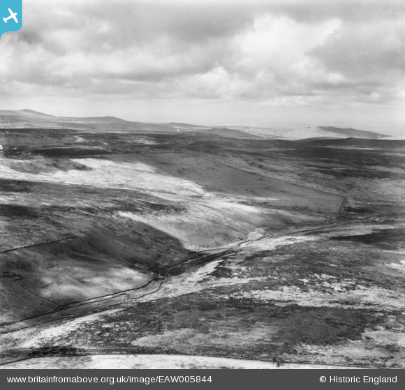
EAW005844 ENGLAND (1947). Dartmoor around Watern Tor and the valley of the North Teign River, Manga Hill, from the south-east, 1947
© Hawlfraint cyfranwyr OpenStreetMap a thrwyddedwyd gan yr OpenStreetMap Foundation. 2026. Trwyddedir y gartograffeg fel CC BY-SA.
Manylion
| Pennawd | [EAW005844] Dartmoor around Watern Tor and the valley of the North Teign River, Manga Hill, from the south-east, 1947 |
| Cyfeirnod | EAW005844 |
| Dyddiad | 18-May-1947 |
| Dolen | |
| Enw lle | MANGA HILL |
| Plwyf | DARTMOOR FOREST |
| Ardal | |
| Gwlad | ENGLAND |
| Dwyreiniad / Gogleddiad | 264251, 85155 |
| Hydred / Lledred | -3.9204144010555, 50.649660395056 |
| Cyfeirnod Grid Cenedlaethol | SX643852 |
Pinnau

Class31 |
Wednesday 6th of November 2013 08:36:33 AM | |
|
Class31 |
Monday 4th of November 2013 06:45:02 AM | |
|
Class31 |
Monday 4th of November 2013 06:43:46 AM | |
|
Class31 |
Monday 4th of November 2013 06:42:16 AM | |
|
Class31 |
Monday 4th of November 2013 06:39:29 AM | |
|
Class31 |
Monday 4th of November 2013 06:36:03 AM | |
|
Class31 |
Monday 4th of November 2013 06:34:20 AM | |
|
Class31 |
Monday 4th of November 2013 06:29:22 AM |
Cyfraniadau Grŵp
Somewhat amazed at your finding this; but also interested to see the scheduled area to the east of the North Teign. You may be interested to know that the original Aerofilms Ltd Register entry reads "General View of Dartmoor". We'll update the catalogue and post the new data here in due course. Yours, Katy Britain from Above Cataloguing Team Leader |
Katy Whitaker |
Monday 6th of January 2014 03:54:41 PM |
EAW005844 EAW005845 and EAW005846 were taken on the same day of Dartmoor. I have positively identified the location of EAW005844 I shall now endeavour to identify some features on the other two photos. |
Class31 |
Wednesday 6th of November 2013 08:28:47 AM |
View is looking broadly north. |
Class31 |
Monday 4th of November 2013 06:31:48 AM |