
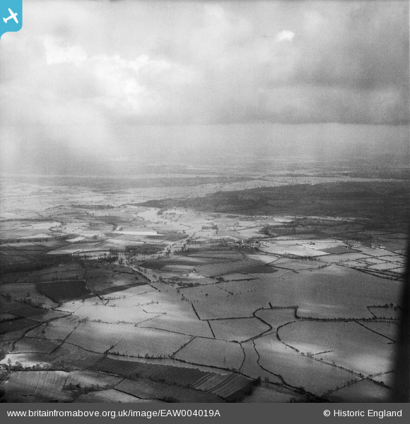
EAW004019A ENGLAND (1947). Flooding at Longdon Marsh, Longdon, from the north-west, 1947
© Hawlfraint cyfranwyr OpenStreetMap a thrwyddedwyd gan yr OpenStreetMap Foundation. 2026. Trwyddedir y gartograffeg fel CC BY-SA.
Manylion
| Pennawd | [EAW004019A] Flooding at Longdon Marsh, Longdon, from the north-west, 1947 |
| Cyfeirnod | EAW004019A |
| Dyddiad | 21-March-1947 |
| Dolen | |
| Enw lle | LONGDON |
| Plwyf | LONGDON |
| Ardal | |
| Gwlad | ENGLAND |
| Dwyreiniad / Gogleddiad | 382227, 237134 |
| Hydred / Lledred | -2.2591002313358, 52.031907893107 |
| Cyfeirnod Grid Cenedlaethol | SO822371 |
Pinnau

Cyfraniadau Grŵp
Hi Class31, Thanks for the location. We'll update the catalogue and post your new data for the image here in due course. Yours, Katy Britain from Above Cataloguing Team Leader |
Katy Whitaker |
Tuesday 3rd of September 2013 01:16:40 PM |