
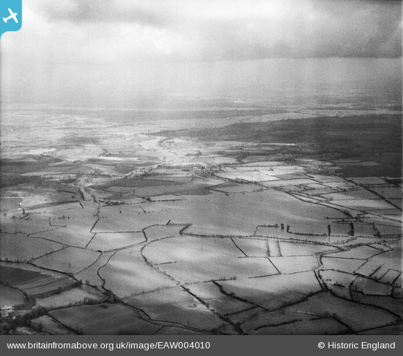
EAW004010 ENGLAND (1947). Flooding at Longdon Marsh, Longdon, from the north-west, 1947
© Hawlfraint cyfranwyr OpenStreetMap a thrwyddedwyd gan yr OpenStreetMap Foundation. 2026. Trwyddedir y gartograffeg fel CC BY-SA.
Manylion
| Pennawd | [EAW004010] Flooding at Longdon Marsh, Longdon, from the north-west, 1947 |
| Cyfeirnod | EAW004010 |
| Dyddiad | 21-March-1947 |
| Dolen | |
| Enw lle | LONGDON |
| Plwyf | LONGDON |
| Ardal | |
| Gwlad | ENGLAND |
| Dwyreiniad / Gogleddiad | 382144, 236720 |
| Hydred / Lledred | -2.2602886026116, 52.028182703202 |
| Cyfeirnod Grid Cenedlaethol | SO821367 |
Pinnau

Class31 |
Wednesday 28th of August 2013 03:29:45 PM | |
|
Class31 |
Wednesday 28th of August 2013 03:26:30 PM | |
|
Class31 |
Wednesday 28th of August 2013 03:25:18 PM | |
|
Class31 |
Wednesday 28th of August 2013 03:07:22 PM | |
|
Class31 |
Wednesday 28th of August 2013 03:06:33 PM |
Cyfraniadau Grŵp
Photo taken from above Hillend Court looking east towards Tewkesbury. |
Class31 |
Tuesday 3rd of September 2013 01:23:18 PM |
Hi Class31, Thanks for the location. This large group of flood record images were really difficult to work with. A few escaped us! We'll update the catalogue and post your new data here in due course. Yours, Katy Britain from Above Cataloguing Team Leader |
Katy Whitaker |
Tuesday 3rd of September 2013 12:53:39 PM |
The flooding images were particularly challenging because the flood waters change the features which can be seen. |
Class31 |
Tuesday 3rd of September 2013 01:23:18 PM |
Eureka I can identify this one as well, The same place as EAW004011 |
Class31 |
Wednesday 28th of August 2013 03:05:50 PM |