
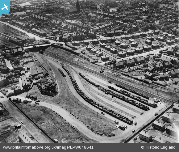
EPW048641 ENGLAND (1935). Railway sidings and adjacent housing, Crumpsall, 1935
© Copyright OpenStreetMap contributors and licensed by the OpenStreetMap Foundation. 2024. Cartography is licensed as CC BY-SA.
Nearby Images (12)
EPW048641

EPW048662

EPW048633

EPW048639

EPW048660

EPW047476

EPW047474

EPW048643

EPW047475

EPW046174

EPW047477

EPW017527

Details
| Title | [EPW048641] Railway sidings and adjacent housing, Crumpsall, 1935 |
| Reference | EPW048641 |
| Date | July-1935 |
| Link | |
| Place name | CRUMPSALL |
| Parish | |
| District | |
| Country | ENGLAND |
| Easting / Northing | 384066, 402529 |
| Longitude / Latitude | -2.2403445556265, 53.518944732402 |
| National Grid Reference | SD841025 |
Pins
 totoro |
Friday 23rd of May 2014 09:17:25 PM | |
totoro |
Friday 23rd of May 2014 09:01:39 PM | |
totoro |
Friday 23rd of May 2014 08:59:37 PM | |
totoro |
Friday 23rd of May 2014 08:59:10 PM | |
totoro |
Friday 23rd of May 2014 08:58:35 PM | |
totoro |
Friday 23rd of May 2014 07:24:56 PM | |
totoro |
Friday 23rd of May 2014 07:14:03 PM | |
totoro |
Friday 23rd of May 2014 07:08:10 PM | |
totoro |
Friday 23rd of May 2014 07:05:18 PM |


