
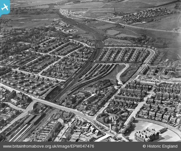
EPW047476 ENGLAND (1935). Crumpsall Lane, the Manmchester, Whitefield and Radcliffe Railway Line and environs, Crumpsall, 1935
© Copyright OpenStreetMap contributors and licensed by the OpenStreetMap Foundation. 2024. Cartography is licensed as CC BY-SA.
Nearby Images (13)
EPW047476

EPW048639

EPW047475

EPW048662

EPW046174

EPW048641

EPW048633

EPW047477

EPW048660

EPW047474

EPW048643

EPW017527

EPW046175

Details
| Title | [EPW047476] Crumpsall Lane, the Manmchester, Whitefield and Radcliffe Railway Line and environs, Crumpsall, 1935 |
| Reference | EPW047476 |
| Date | May-1935 |
| Link | |
| Place name | CRUMPSALL |
| Parish | |
| District | |
| Country | ENGLAND |
| Easting / Northing | 384059, 402599 |
| Longitude / Latitude | -2.2404537037739, 53.519573774851 |
| National Grid Reference | SD841026 |
Pins
 ValuerJim |
Friday 20th of November 2015 10:57:23 PM | |
ValuerJim |
Friday 20th of November 2015 10:56:57 PM | |
ValuerJim |
Friday 20th of November 2015 10:56:20 PM | |
ValuerJim |
Friday 20th of November 2015 10:54:23 PM | |
ValuerJim |
Friday 20th of November 2015 10:53:32 PM | |
Barney Rubble |
Tuesday 13th of January 2015 12:27:11 PM | |
This is now the 1980s Barratts housing site centred on Coppleridge Drive. |
ValuerJim |
Friday 20th of November 2015 10:52:56 PM |
Barney Rubble |
Tuesday 13th of January 2015 12:26:38 PM | |
Barney Rubble |
Tuesday 13th of January 2015 12:25:49 PM | |
Barney Rubble |
Tuesday 13th of January 2015 12:25:09 PM |


