
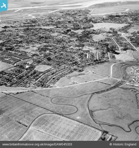
EAW045333 ENGLAND (1952). The town, Canvey Island, 1952
© Copyright OpenStreetMap contributors and licensed by the OpenStreetMap Foundation. 2024. Cartography is licensed as CC BY-SA.
Nearby Images (7)
EAW045333

EAW051027

EAW045309

EAW051026

EAW045308

EAW048238

EAW045310

Details
| Title | [EAW045333] The town, Canvey Island, 1952 |
| Reference | EAW045333 |
| Date | 2-August-1952 |
| Link | |
| Place name | CANVEY ISLAND |
| Parish | CANVEY ISLAND |
| District | |
| Country | ENGLAND |
| Easting / Northing | 579071, 182984 |
| Longitude / Latitude | 0.58119718364867, 51.516870467826 |
| National Grid Reference | TQ791830 |


