
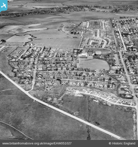
EAW051027 ENGLAND (1953). Mayland Avenue, Beverley Avenue and environs, Canvey Island, 1953
© Copyright OpenStreetMap contributors and licensed by the OpenStreetMap Foundation. 2024. Cartography is licensed as CC BY-SA.
Nearby Images (6)
EAW051027

EAW045333

EAW045309

EAW045310

EAW051026

EAW045311

Details
| Title | [EAW051027] Mayland Avenue, Beverley Avenue and environs, Canvey Island, 1953 |
| Reference | EAW051027 |
| Date | 3-August-1953 |
| Link | |
| Place name | CANVEY ISLAND |
| Parish | CANVEY ISLAND |
| District | |
| Country | ENGLAND |
| Easting / Northing | 578955, 183062 |
| Longitude / Latitude | 0.57956654729061, 51.51760793153 |
| National Grid Reference | TQ790831 |
Pins
 Matt Aldred edob.mattaldred.com |
Sunday 7th of March 2021 02:58:01 PM | |
 Sparky |
Saturday 28th of October 2017 04:00:06 PM |


