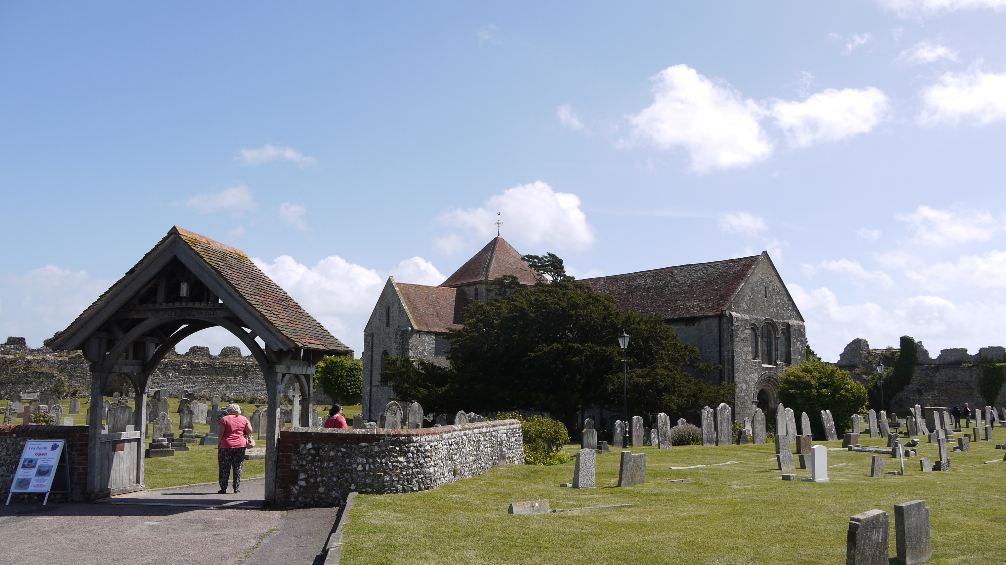
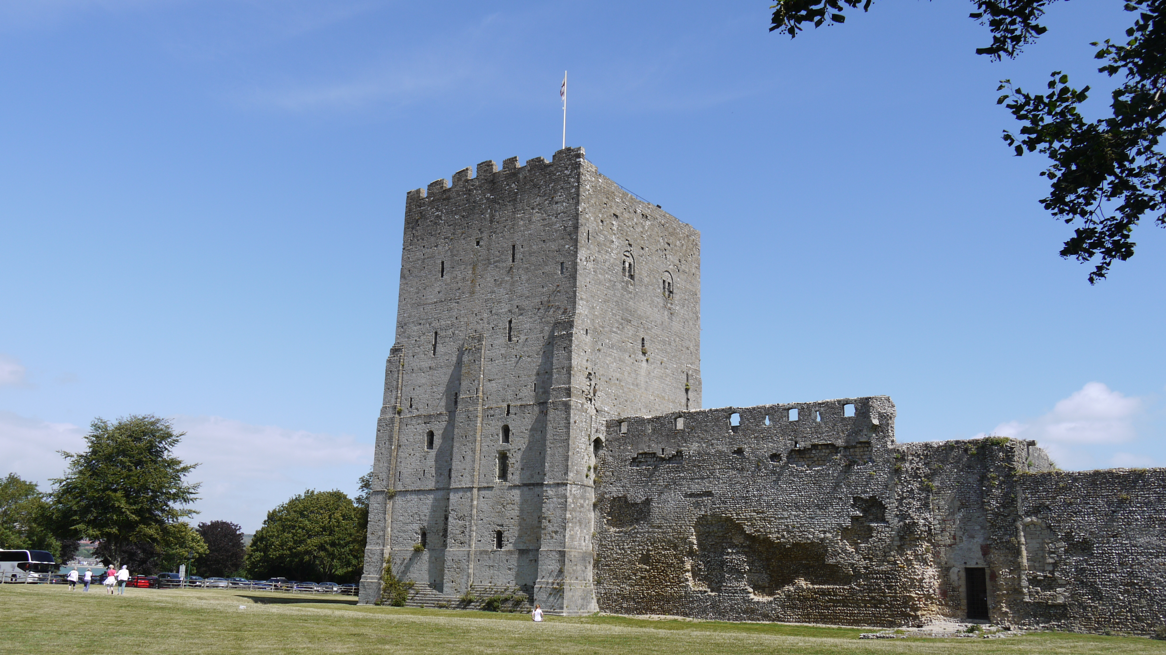
eaw014364 ENGLAND (1948). Portchester Castle and St Mary's Church, Portchester, 1948

© Copyright OpenStreetMap contributors and licensed by the OpenStreetMap Foundation. 2025. Cartography is licensed as CC BY-SA.
Nearby Images (10)
EAW014364

EAW005098

EAW005095

EAW005094

EAW014365

EAW005097

EAW005096

EAW014367

EAW014366

EAW014368

Details
| Title | [EAW014364] Portchester Castle and St Mary's Church, Portchester, 1948 |
| Reference | EAW014364 |
| Date | 13-April-1948 |
| Link | |
| Place name | PORTCHESTER |
| Parish | |
| District | |
| Country | ENGLAND |
| Easting / Northing | 462463, 104550 |
| Longitude / Latitude | -1.1128490946258, 50.836544907406 |
| National Grid Reference | SU625046 |
Pins
Be the first to add a comment to this image!