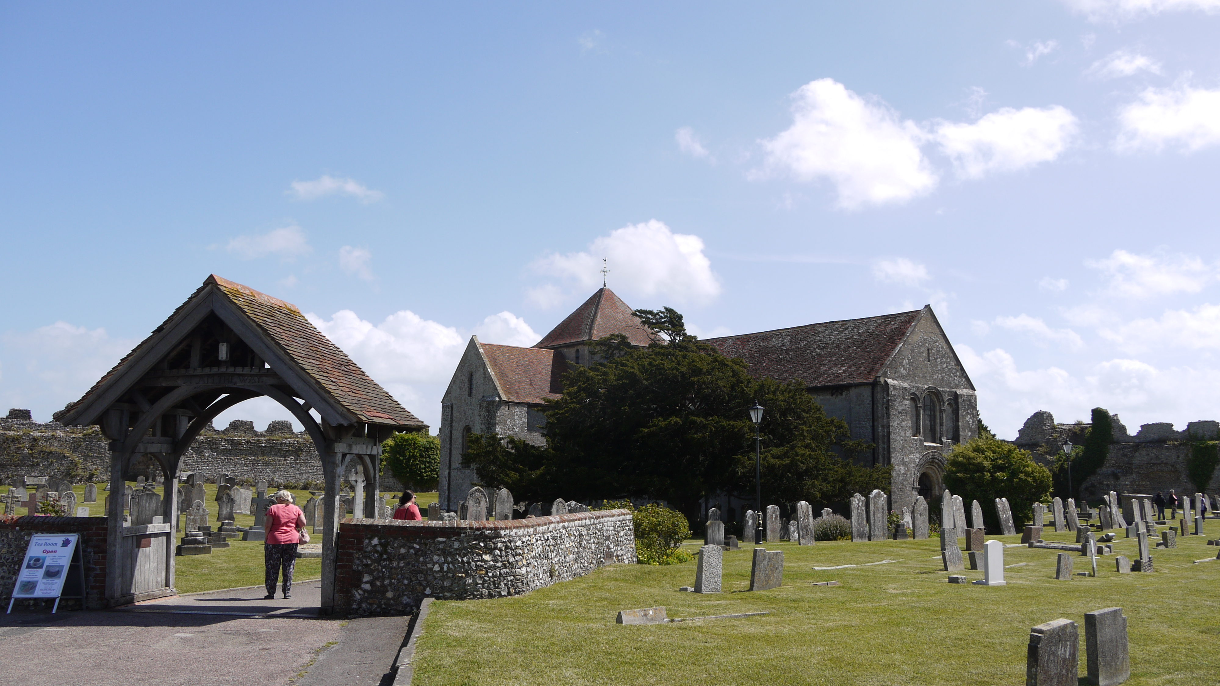
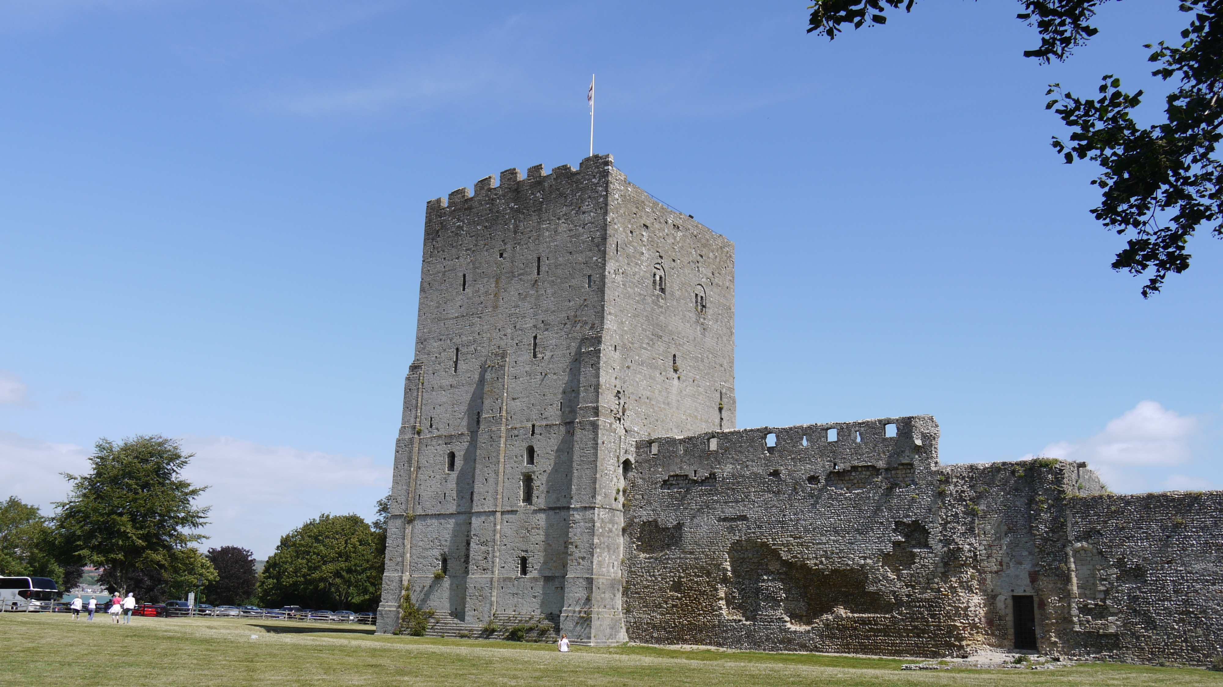
EAW005096 ENGLAND (1947). Portchester Castle and Roman Fort, Portchester, 1947. This image has been produced from a print.

© Copyright OpenStreetMap contributors and licensed by the OpenStreetMap Foundation. 2025. Cartography is licensed as CC BY-SA.
Nearby Images (10)
EAW005096

EAW014367

EAW005097

EAW014365

EAW014368

EAW005098

EAW005095

EAW005094

EAW014364

EAW014366

Details
| Title | [EAW005096] Portchester Castle and Roman Fort, Portchester, 1947. This image has been produced from a print. |
| Reference | EAW005096 |
| Date | 7-September-1947 |
| Link | |
| Place name | PORTCHESTER |
| Parish | |
| District | |
| Country | ENGLAND |
| Easting / Northing | 462424, 104611 |
| Longitude / Latitude | -1.1133925396602, 50.837097656234 |
| National Grid Reference | SU624046 |
Pins
Be the first to add a comment to this image!