
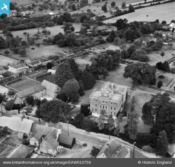
eaw010756 ENGLAND (1947). Bratton House, Bratton, 1947
© Copyright OpenStreetMap contributors and licensed by the OpenStreetMap Foundation. 2025. Cartography is licensed as CC BY-SA.
Nearby Images (9)
EAW010756

EAW010758

EAW010757

EAW010755

EAW010762

EAW010760

EAW010761

EAW010763

EAW010759

Details
| Title | [EAW010756] Bratton House, Bratton, 1947 |
| Reference | EAW010756 |
| Date | 17-September-1947 |
| Link | |
| Place name | BRATTON |
| Parish | BRATTON |
| District | |
| Country | ENGLAND |
| Easting / Northing | 391577, 152525 |
| Longitude / Latitude | -2.1207548633738, 51.271303152036 |
| National Grid Reference | ST916525 |
Pins


User Comment Contributions
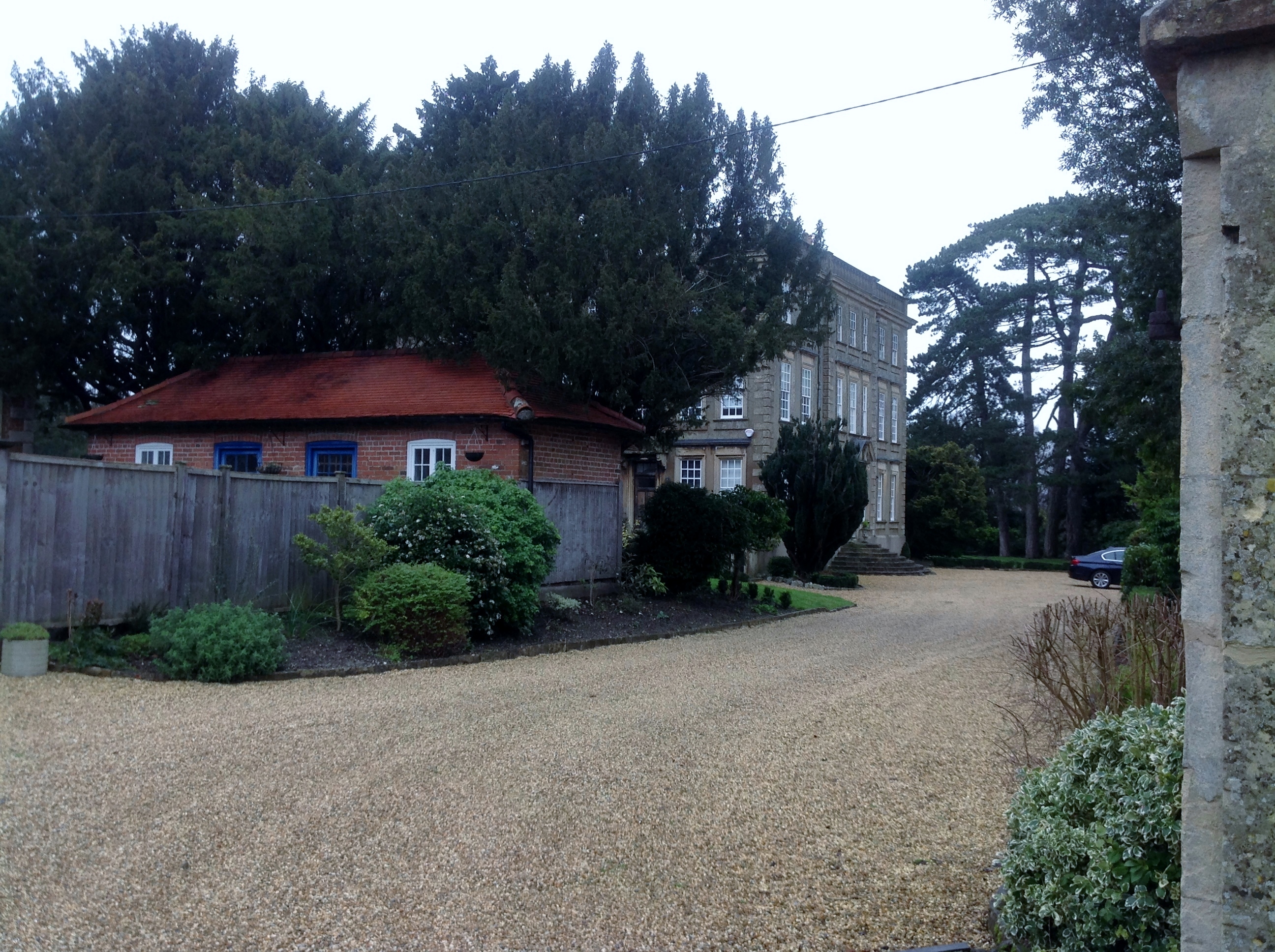
Bratton House 12/01/2014 |

Class31 |
Monday 13th of January 2014 08:28:53 AM |