
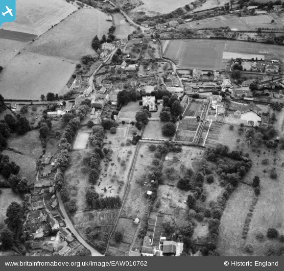
EAW010762 ENGLAND (1947). The village, Bratton, 1947
© Copyright OpenStreetMap contributors and licensed by the OpenStreetMap Foundation. 2025. Cartography is licensed as CC BY-SA.
Nearby Images (9)
EAW010762

EAW010757

EAW010758

EAW010755

EAW010756

EAW010759

EAW010763

EAW010761

EAW010760

Details
| Title | [EAW010762] The village, Bratton, 1947 |
| Reference | EAW010762 |
| Date | 17-September-1947 |
| Link | |
| Place name | BRATTON |
| Parish | BRATTON |
| District | |
| Country | ENGLAND |
| Easting / Northing | 391604, 152563 |
| Longitude / Latitude | -2.1203686763618, 51.271645278476 |
| National Grid Reference | ST916526 |
Pins
Be the first to add a comment to this image!