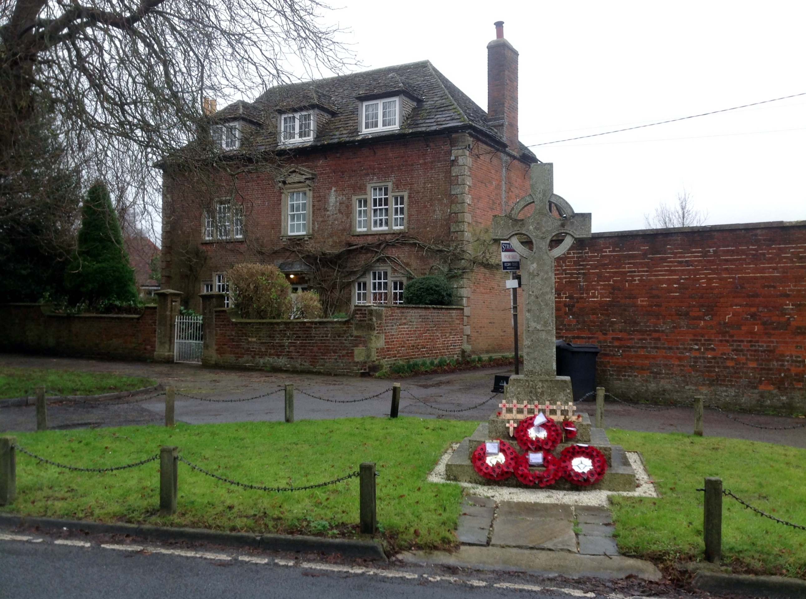
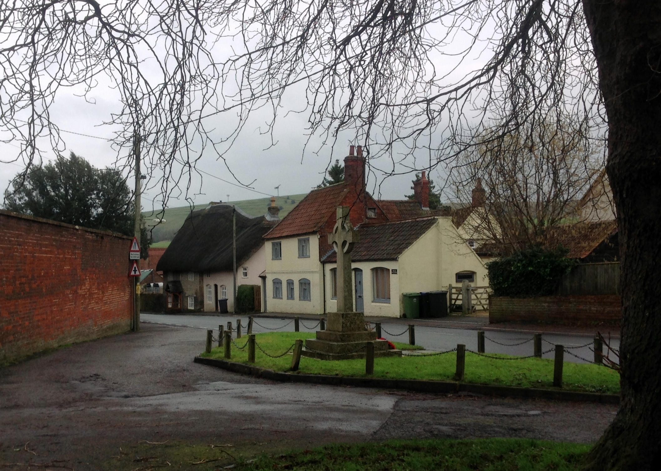
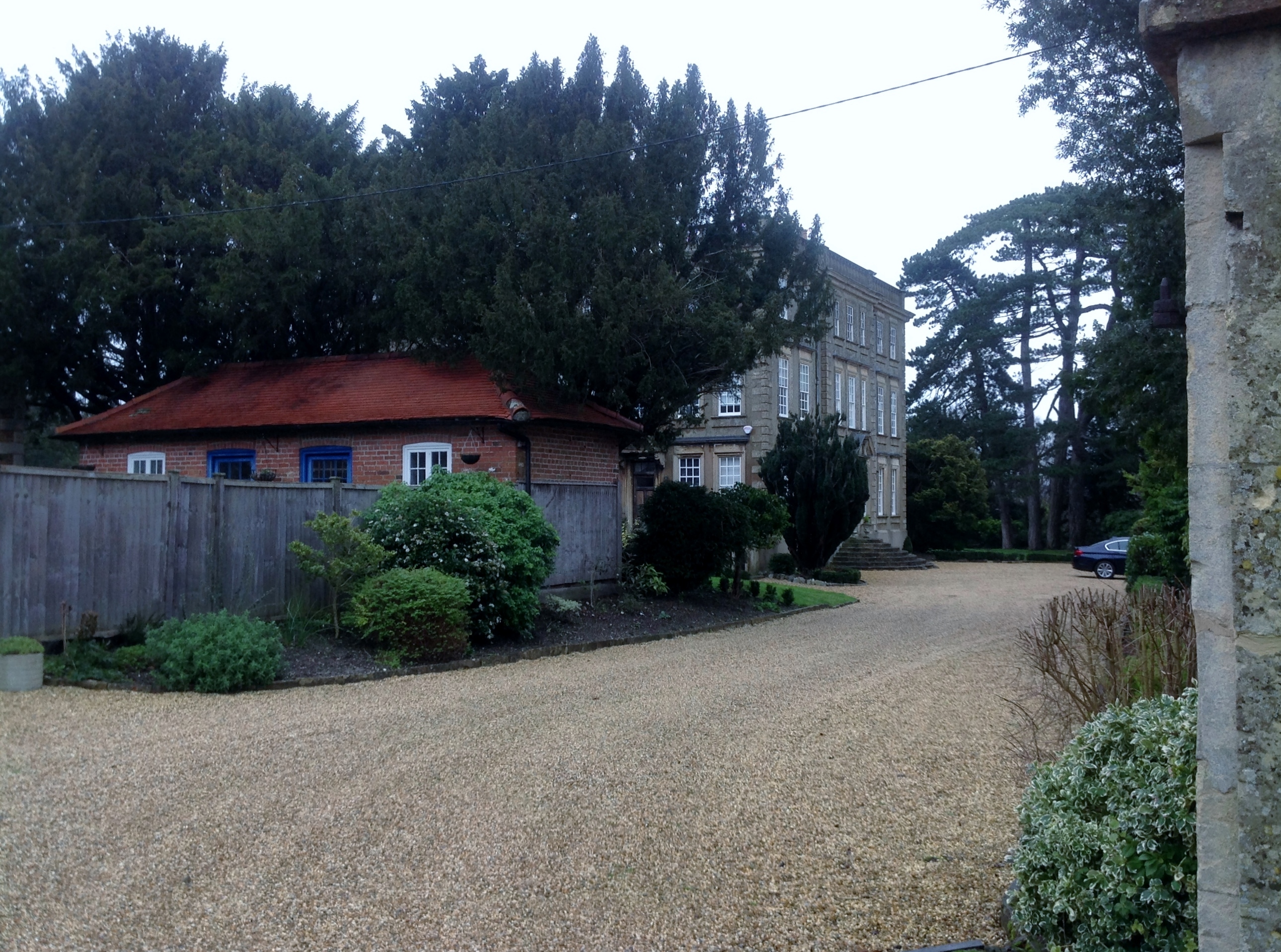
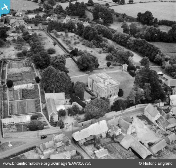
EAW010755 ENGLAND (1947). Bratton House, Bratton, 1947
© Copyright OpenStreetMap contributors and licensed by the OpenStreetMap Foundation. 2025. Cartography is licensed as CC BY-SA.
Nearby Images (9)
EAW010755

EAW010756

EAW010757

EAW010758

EAW010761

EAW010762

EAW010760

EAW010763

EAW010759

Details
| Title | [EAW010755] Bratton House, Bratton, 1947 |
| Reference | EAW010755 |
| Date | 17-September-1947 |
| Link | |
| Place name | BRATTON |
| Parish | BRATTON |
| District | |
| Country | ENGLAND |
| Easting / Northing | 391602, 152519 |
| Longitude / Latitude | -2.120396315099, 51.271249564095 |
| National Grid Reference | ST916525 |