
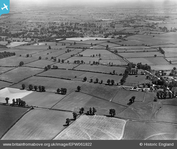
EPW061822 ENGLAND (1939). Countryside around Witpit Lane, Preston, from the south-west, 1939
© Copyright OpenStreetMap contributors and licensed by the OpenStreetMap Foundation. 2025. Cartography is licensed as CC BY-SA.
Nearby Images (6)
EPW061822

EPW061814

EPW061810

EPW061812

EPW061827

EPW061824

Details
| Title | [EPW061822] Countryside around Witpit Lane, Preston, from the south-west, 1939 |
| Reference | EPW061822 |
| Date | 8-June-1939 |
| Link | |
| Place name | PRESTON |
| Parish | PRESTON |
| District | |
| Country | ENGLAND |
| Easting / Northing | 404191, 201089 |
| Longitude / Latitude | -1.9393396209628, 51.708062648535 |
| National Grid Reference | SP042011 |
Pins
Be the first to add a comment to this image!