
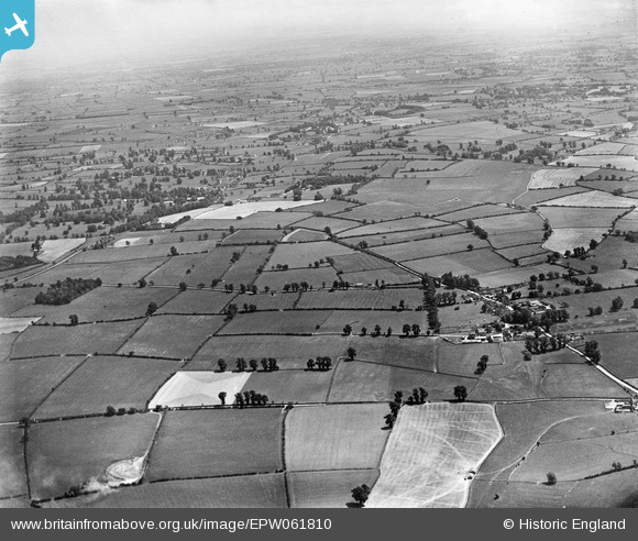
EPW061810 ENGLAND (1939). Countryside between Circencester and Ampney St Peter, Preston, from the west, 1939
© Copyright OpenStreetMap contributors and licensed by the OpenStreetMap Foundation. 2025. Cartography is licensed as CC BY-SA.
Nearby Images (3)
EPW061810

EPW061822

EPW061814

Details
| Title | [EPW061810] Countryside between Circencester and Ampney St Peter, Preston, from the west, 1939 |
| Reference | EPW061810 |
| Date | 8-June-1939 |
| Link | |
| Place name | PRESTON |
| Parish | PRESTON |
| District | |
| Country | ENGLAND |
| Easting / Northing | 404261, 201227 |
| Longitude / Latitude | -1.9383247566445, 51.709303042168 |
| National Grid Reference | SP043012 |
Pins
Be the first to add a comment to this image!