
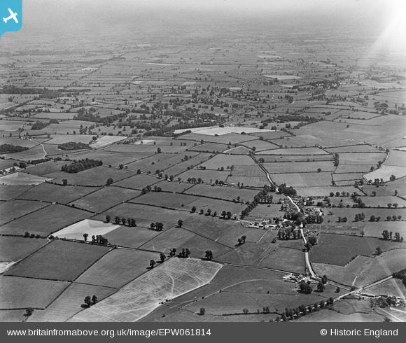
EPW061814 ENGLAND (1939). Countryside between Circencester and Ready Token, Preston, from the south-west, 1939
© Copyright OpenStreetMap contributors and licensed by the OpenStreetMap Foundation. 2025. Cartography is licensed as CC BY-SA.
Nearby Images (6)
EPW061814

EPW061822

EPW061810

EPW061812

EPW061827

EPW061824

Details
| Title | [EPW061814] Countryside between Circencester and Ready Token, Preston, from the south-west, 1939 |
| Reference | EPW061814 |
| Date | 8-June-1939 |
| Link | |
| Place name | PRESTON |
| Parish | PRESTON |
| District | |
| Country | ENGLAND |
| Easting / Northing | 404238, 201067 |
| Longitude / Latitude | -1.9386596126825, 51.70786446736 |
| National Grid Reference | SP042011 |
Pins
Be the first to add a comment to this image!