
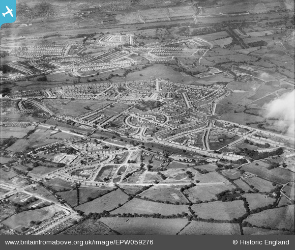
EPW059276 ENGLAND (1938). Residential area off Whittington Oval, Gillscroft Road and Hollington Crescent, Glebe Farm, 1938
© Copyright OpenStreetMap contributors and licensed by the OpenStreetMap Foundation. 2025. Cartography is licensed as CC BY-SA.
Nearby Images (12)
EPW059276

EAW001181

EAW001178

EAW001173

EAW001180

EPW059277

EAW001182

EPW059270

EPW059271

EPW047147

EPW059279

EAW001170

Details
| Title | [EPW059276] Residential area off Whittington Oval, Gillscroft Road and Hollington Crescent, Glebe Farm, 1938 |
| Reference | EPW059276 |
| Date | 12-September-1938 |
| Link | |
| Place name | GLEBE FARM |
| Parish | |
| District | |
| Country | ENGLAND |
| Easting / Northing | 414171, 287488 |
| Longitude / Latitude | -1.7912959327955, 52.484758902894 |
| National Grid Reference | SP142875 |
Pins
Be the first to add a comment to this image!