
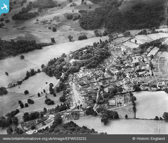
EPW033231 ENGLAND (1930). Dunster Castle and environs, Dunster, 1930
© Copyright OpenStreetMap contributors and licensed by the OpenStreetMap Foundation. 2025. Cartography is licensed as CC BY-SA.
Nearby Images (17)
EPW033231

EPW033234

EAW015007

EAW015009

EAW005862

EAW005864

EAW005860

EAW015010

EPW033723

EAW015008

EAW015006

EAW005863

EPW033233

EAW005861

EPW033721

EPW033722

EAW015015

Details
| Title | [EPW033231] Dunster Castle and environs, Dunster, 1930 |
| Reference | EPW033231 |
| Date | July-1930 |
| Link | |
| Place name | DUNSTER |
| Parish | DUNSTER |
| District | |
| Country | ENGLAND |
| Easting / Northing | 299118, 143559 |
| Longitude / Latitude | -3.4435078441118, 51.181829758497 |
| National Grid Reference | SS991436 |
Pins
 Class31 |
Monday 22nd of September 2014 10:31:57 AM | |
Class31 |
Monday 22nd of September 2014 10:28:28 AM | |
Class31 |
Monday 22nd of September 2014 10:23:15 AM | |
Class31 |
Monday 22nd of September 2014 10:18:28 AM | |
 |
Class31 |
Monday 22nd of September 2014 10:17:25 AM |

User Comment Contributions
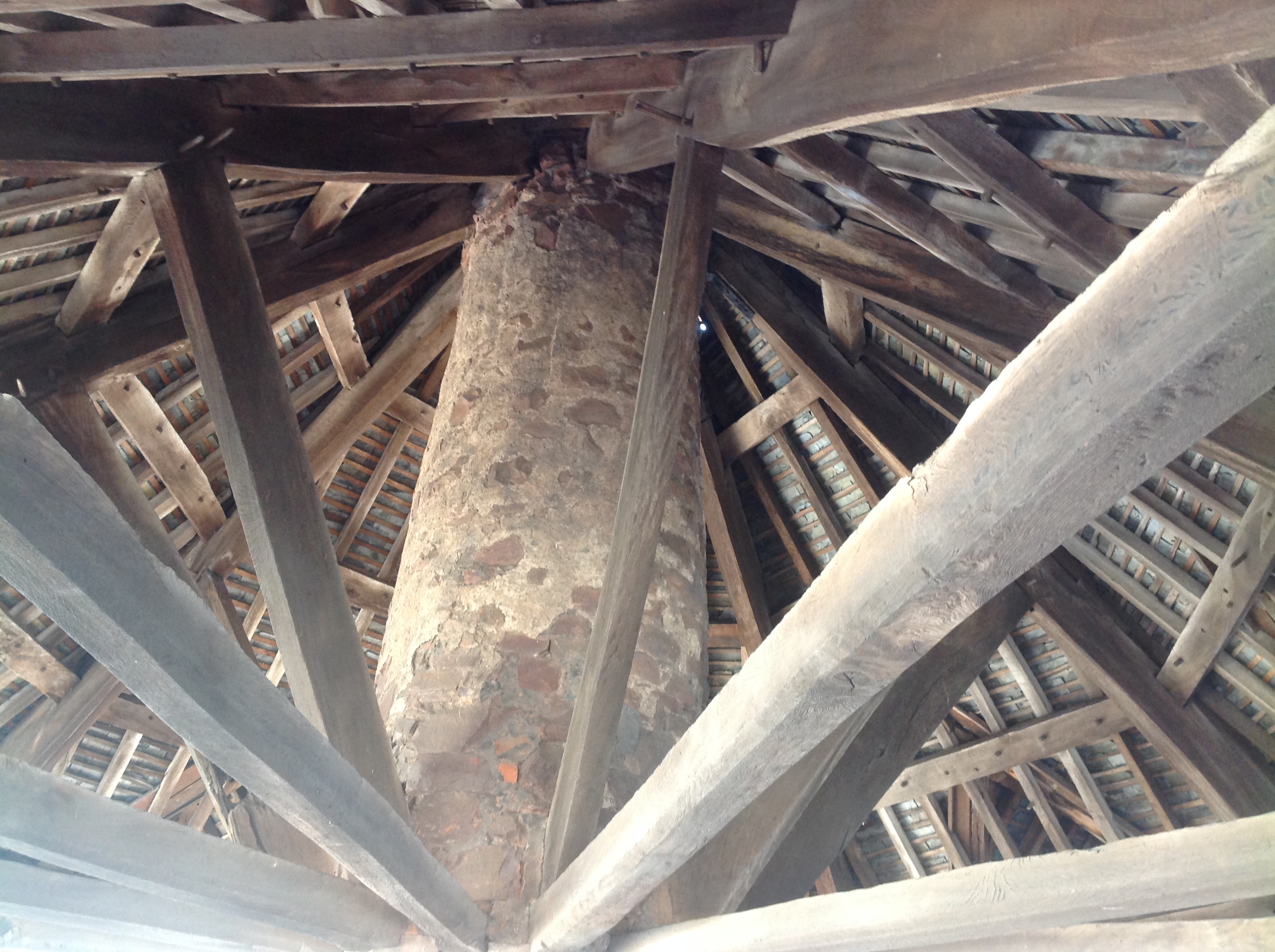 Yarn Market, interior view, Dunster, 21/09/2014 |
Class31 |
Monday 22nd of September 2014 10:32:29 AM |
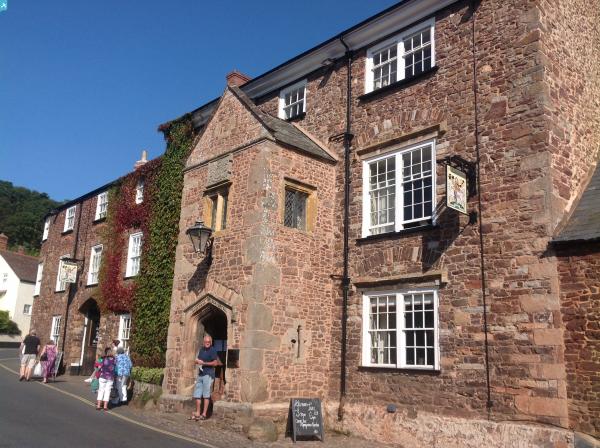
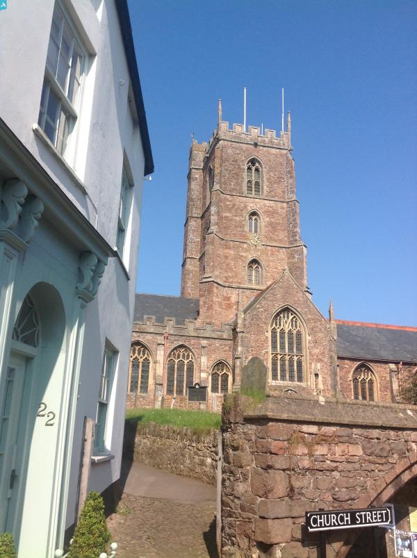
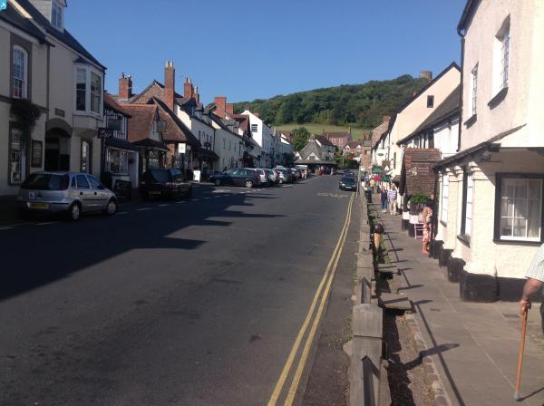
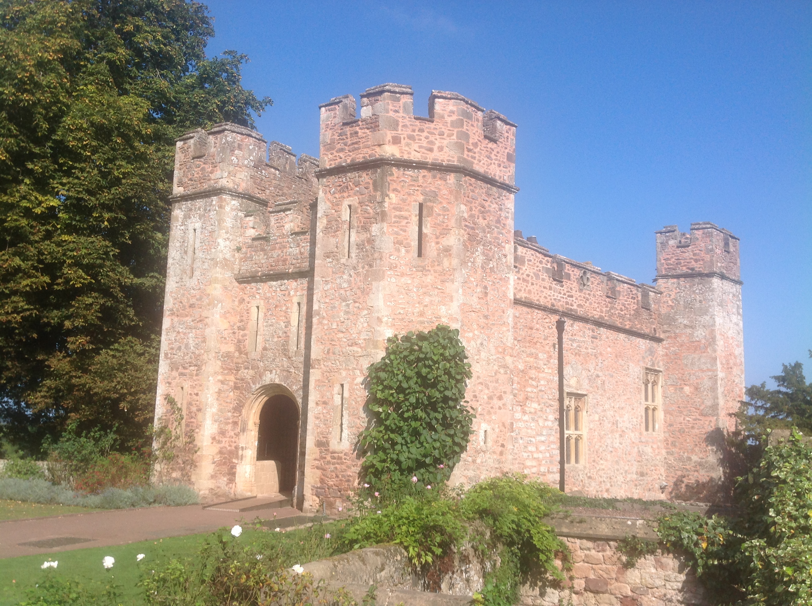
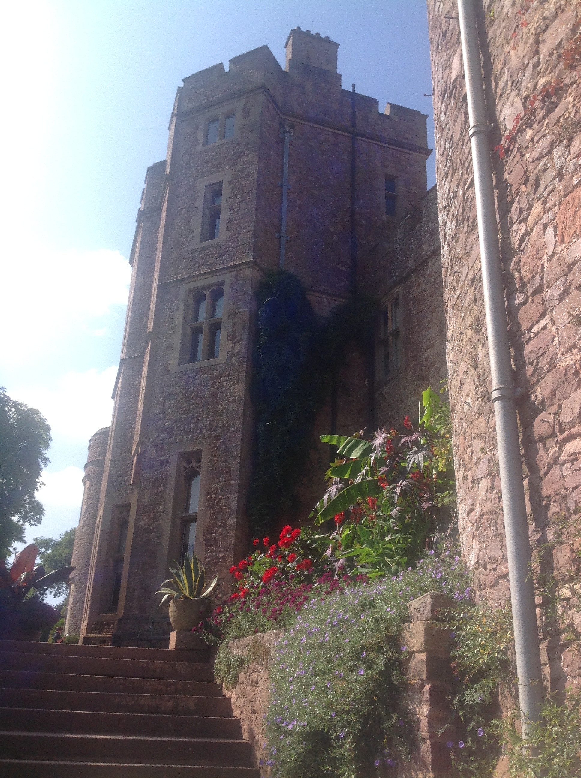 Dunster Castle, 21/09/2014 |
Class31 |
Monday 22nd of September 2014 10:25:56 AM |
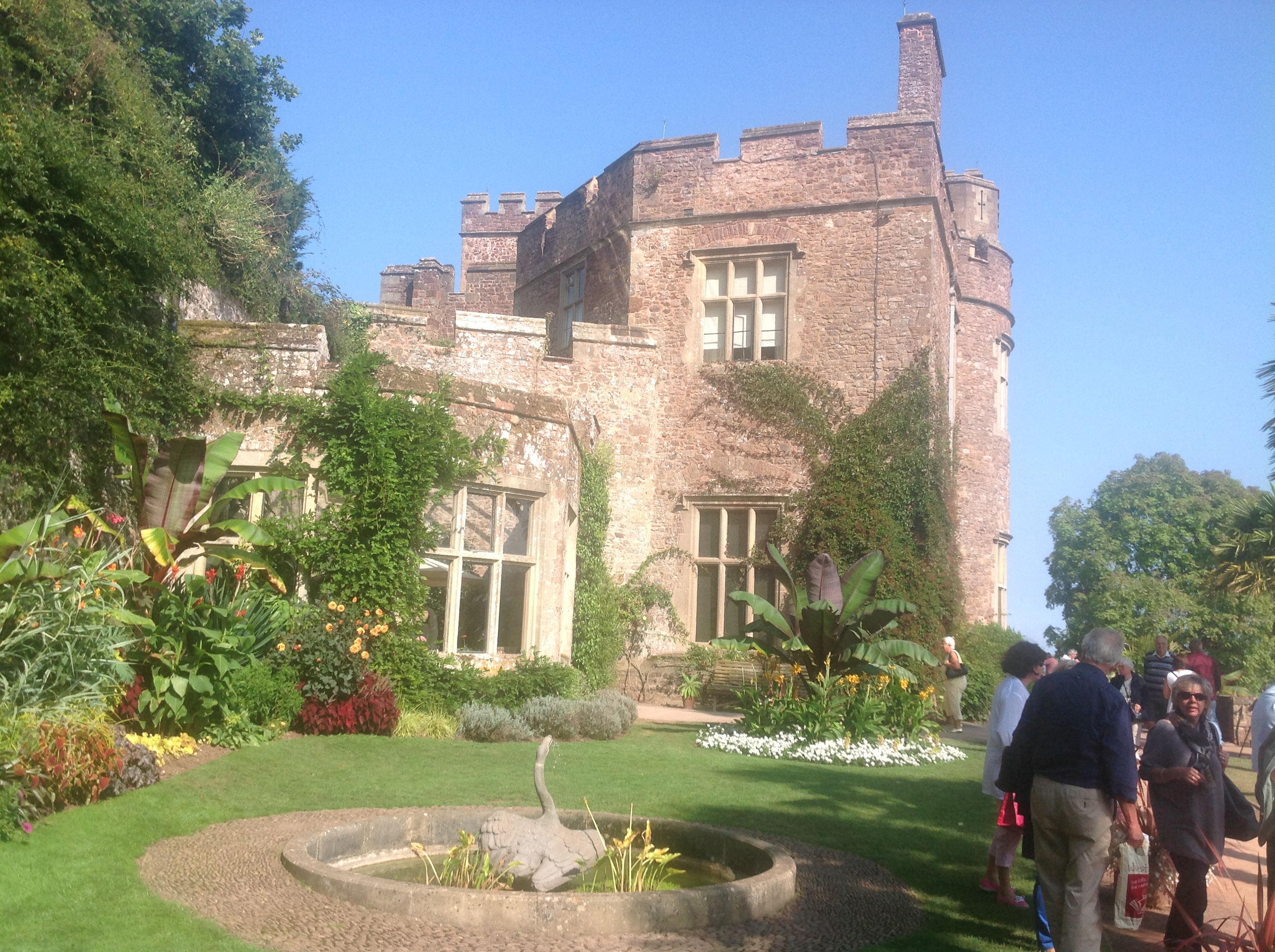 Dunster Castle, 21/09/2014 |
Class31 |
Monday 22nd of September 2014 10:25:25 AM |
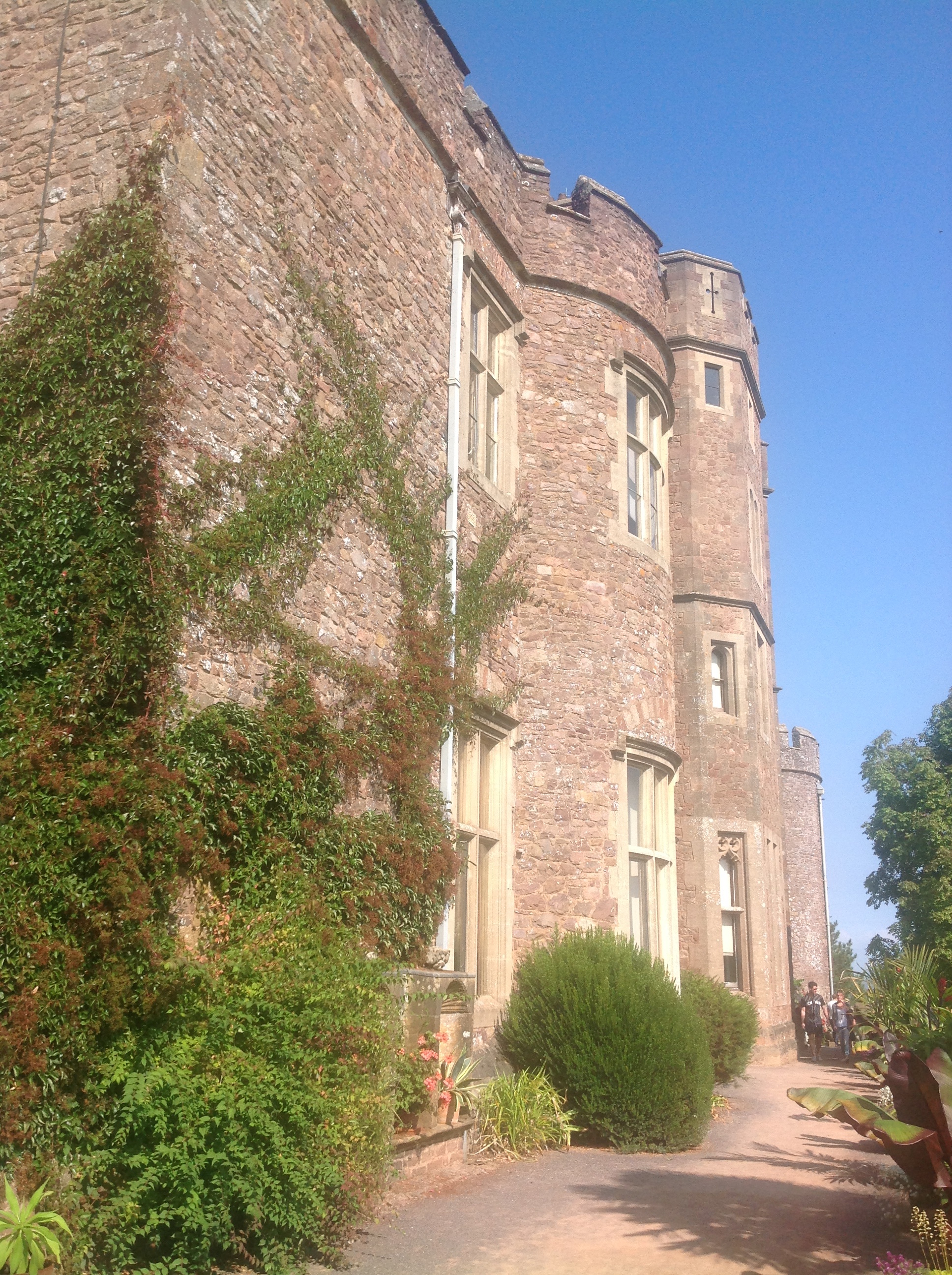 Dunster Castle, 21/09/2014 |
Class31 |
Monday 22nd of September 2014 10:23:54 AM |
 Dunster Castle, 21/09/2014 |
Class31 |
Monday 22nd of September 2014 10:20:46 AM |